Missionary Ridge in Chattanooga in Hamilton County, Tennessee — The American South (East South Central)
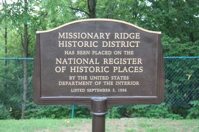
Missionary Ridge Historic District
Historic District
Has been placed on the
National Register
Of Historic Places
By the United States
Department of the Interior
Listed September 5, 1996
Erected by United States Department of the Interior.
Topics. This historical marker is listed in this topic list: War, US Civil. A significant historical date for this entry is September 5, 1843.
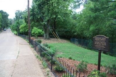
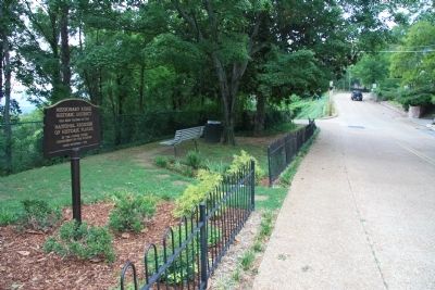
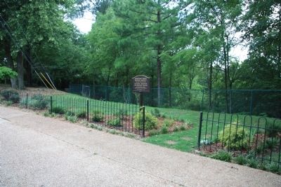
Location. 35° 1.776′ N, 85° 15.449′ W. Marker is in Chattanooga, Tennessee, in Hamilton County. It is in Missionary Ridge. Marker is at the intersection of South Crest Road and Birds Mill Road, on the right when traveling south on South Crest Road. This historical marker is located along the western crest of Missionary Ridge, in a small public park, situated almost directly over the McCallie Avenue Tunnel, between the Ohio Reservation and the Turchin Reservation (much closer to the Ohio Reservation). Touch for map. Marker is in this post office area: Chattanooga TN 37404, United States of America. Touch for directions.
Other nearby markers. At least 8 other markers are within walking distance of this marker. 93rd Ohio Infantry (a few steps from this marker); Missionary Ridge Trolley (within shouting distance of this marker); 41st Ohio Infantry (within shouting distance of this marker); 1st Ohio Infantry (within shouting distance of this marker); 124th Ohio Infantry (within shouting distance of this marker); T. J. Wood's Division (about 300 feet away, measured in a direct line); 4th Ohio Cavalry (Battalion) (about 500 feet away); 18th Ohio Infantry (about 500 feet away). Touch for a list and map of all markers in Chattanooga.
Credits. This page was last revised on September 3, 2023. It was originally submitted on August 28, 2011, by Dale K. Benington of Toledo, Ohio. This page has been viewed 753 times since then and 38 times this year. Photos: 1, 2, 3, 4. submitted on August 28, 2011, by Dale K. Benington of Toledo, Ohio.


