St. Augustine in St. Johns County, Florida — The American South (South Atlantic)
Santo Domingo Redoubt
Archaeology
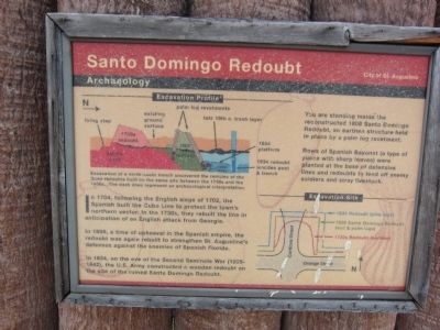
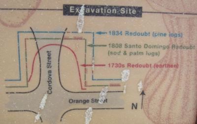
In 1808, a time of upheaval in the Spanish empire, the redoubt was again rebuilt to strengthen St. Augustine's defenses against the enemies of Spanish Florida.
In 1834, on the eve of the Second Seminole War (1835-1842), the U.S. Army constructed a wooden redoubt on the site of the ruined Santo Domingo Redoubt.
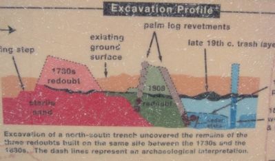
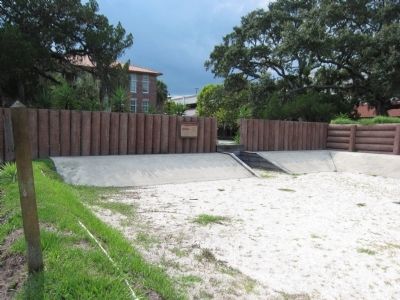
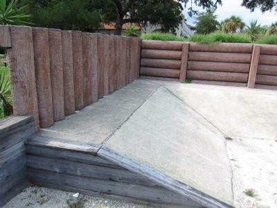
You are standing inside the reconstructed 1808 Santo Domingo Redoubt, an earthen structure held in place by a palm log revetment.
Rows of Spanish Bayonet (a type of yucca with sharp leaves) were planted at the base of defensive lines and redoubts to fend off enemy soldiers and stray livestock.
Erected by City of St. Augustine.
Topics. This historical marker is listed in these topic lists: Colonial Era • Forts and Castles. A significant historical year for this entry is 1704.
Location. 29° 53.868′ N, 81° 18.907′ W. Marker is in St. Augustine, Florida, in St. Johns County. Marker is at the intersection of Orange Street and Cordova Street, on the right when traveling west on Orange Street. Located inside a earthwork reconstruction of Santo Domingo Redoubt. Touch for map. Marker is in this post office area: Saint Augustine FL 32084, United States of America. Touch for directions.
Other nearby markers. At least 8 other markers are within walking distance of this marker. A different marker also named Santo Domingo Redoubt (here, next to this marker); a different marker also named Santo Domingo Redoubt (a few steps from this marker); a different marker also named Santo Domingo Redoubt (a few steps from this marker); The 1886 Old Drugstore (within shouting distance of this marker); The Cubo Line (within shouting distance of this marker); Los Floridanos (within shouting distance of this marker); The Lynching of Isaac Barrett (within shouting distance of this marker); The Lynching of Isaac Barrett / Racial Violence in America (within shouting distance of this marker). Touch for a list and map of all markers in St. Augustine.
Credits. This page was last revised on January 2, 2019. It was originally submitted on August 28, 2011, by Craig Swain of Leesburg, Virginia. This page has been viewed 738 times since then and 48 times this year. Photos: 1, 2, 3, 4, 5. submitted on August 28, 2011, by Craig Swain of Leesburg, Virginia.
