Jeffersonville in Clark County, Indiana — The American Midwest (Great Lakes)
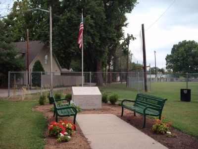
Civil War Memorial
( Top Section )
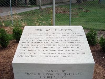
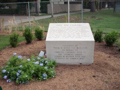
Civil War Cemetery
On this site, 1861 - 1865, are buried several hundred Union and Confederate Soldiers. Killed in the Western Campaign. Lack of interest from distant families allowed deterioration of the wood grave markers and heavy overgrowth. In 1927, the Jeffersonville Council determined “Better the sound of children’s footsteps at play than the silent stride of the nearly forgotten Great Spirit Army here at rest”. The only intact stone marker was moved to Walnut Ridge Cemetery. No bodies were exhumed.
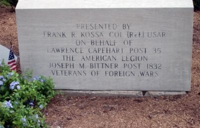
( Front Section )
Presented by
Frank R. Kossa Col (Ret) USAR
on behalf of
Lawrence Capehart Post 35
The American Legion
Joseph M. Bittner Post 1832
Veterans of Foreign Wars
Topics. This memorial is listed in this topic list: War, US Civil.
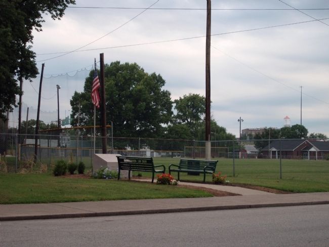
Location. 38° 16.217′ N, 85° 44.568′ W. Marker is in Jeffersonville, Indiana, in Clark County. Memorial is on Mulberry Street south of West Chestnut Street, on the right when traveling south. Located at the South end of the Jeffersonville 'childrens' ball field. Touch for map. Marker is in this post office area: Jeffersonville IN 47130, United States of America. Touch for directions.
Other nearby markers. At least 8 other markers are within walking distance of this marker. Big Four Bridge Collapse (within shouting distance of this marker); 2nd Street Bridge Construction (about 300 feet away, measured in a direct line); Flooding (about 300 feet away); Steamboats and Shipyards (about 400 feet away); Big Four Pedestrian/Bicycle Path (about 400 feet away); Big Four Railroad Bridge (about 400 feet away); U.S. Quartermaster Depot (about 400 feet away); The History of Preservation Station (about 600 feet away). Touch for a list and map of all markers in Jeffersonville.
Credits. This page was last revised on June 16, 2016. It was originally submitted on August 30, 2011, by Al Wolf of Veedersburg, Indiana. This page has been viewed 1,447 times since then and 19 times this year. Photos: 1, 2, 3, 4, 5. submitted on August 30, 2011, by Al Wolf of Veedersburg, Indiana. • Craig Swain was the editor who published this page.
