Tangier in Accomack County, Virginia — The American South (Mid-Atlantic)
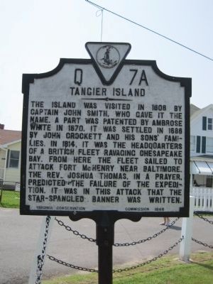
Tangier Island
Erected 1948 by Virginia Conservation Commission. (Marker Number Q-7-a.)
Topics and series. This historical marker is listed in these topic lists: Arts, Letters, Music • Colonial Era • War of 1812. In addition, it is included in the Virginia Department of Historic Resources (DHR) series list. A significant historical year for this entry is 1608.
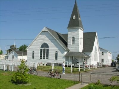
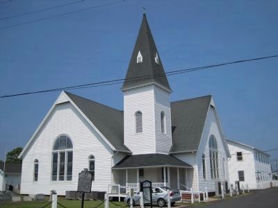
Location. 37° 49.629′ N, 75° 59.519′ W. Marker is in Tangier, Virginia, in Accomack County. Marker is on Main Ridge Road near Ponderosa Lane. Marker is in front of the Swain Memorial United Methodist Church. Touch for map. Marker is at or near this postal address: 16094 Main Ridge Rd, Tangier VA 23440, United States of America. Touch for directions.
Other nearby markers. At least 8 other markers are within walking distance of this marker. The Parson of the Islands (here, next to this marker); Swain Memorial United Methodist Church (a few steps from this marker); Telephone Office, Post Office & Myrt’s (a few steps from this marker); Dr. Copter — Flying Medicine to Tangier (a few steps from this marker); Tangier Island Veterans Memorial (a few steps from this marker); a different marker also named Tangier Island Veterans Memorial (a few steps from this marker); Tangier Island World Wars I and II Memorial (within shouting distance of this marker); Gladstone Memorial Health Center (within shouting distance of this marker). Touch for a list and map of all markers in Tangier.
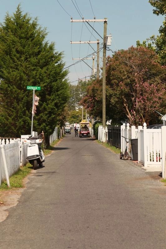
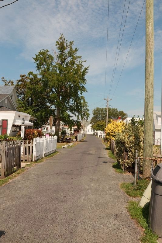
More about this marker. Transportation on the island include many golf carts and some trucks, plus of course bikes.
Also see . . .
1. Tangier Island Guide. When you arrive, plan to leisurely stroll around the island. There are no cars, no trains, and only one historical marker. (Submitted on May 19, 2008, by Kevin W. of Stafford, Virginia.)
2. Tangier History Museum. "No visit to Tangier Island is complete without a visit to the Museum and Visitors Center." (Submitted on September 7, 2011, by Linda Walcroft of Woodstock, Virginia.)
3. The odd accent of Tangier VA - American Tongues episode #3. A comment to the video (below): “Yes, west country England, or Plymouth area of Cornwall. I’m English, and every time I go to Cornwall on holiday and listen to a local speak, I think that’s the origin of the american accent. some people might say they sound like ‘pirates.’ Well, most of the English seafarers would have been at that time from the west country of Devon/Cornwall. If you start to tone down a ‘pirate’ accent, then it starts sounding remarkably old east coast American. Now, presumably for geographical reasons, this Tangier accent has never had the chance to be ‘toned down.’ But anyway trust me, my American friends, this accent is what most people on the ‘Mayflower’ would have sounded like.”
Credits. This page was last revised on November 6, 2016. It was originally submitted on May 19, 2008, by Kevin W. of Stafford, Virginia. This page has been viewed 2,158 times since then and 51 times this year. Last updated on August 31, 2011, by Linda Walcroft of Woodstock, Virginia. Photos: 1. submitted on January 8, 2011, by Kevin W. of Stafford, Virginia. 2. submitted on May 19, 2008, by Kevin W. of Stafford, Virginia. 3. submitted on January 8, 2011, by Kevin W. of Stafford, Virginia. 4, 5, 6, 7. submitted on September 12, 2016, by J. J. Prats of Powell, Ohio.
