Blackville in Barnwell County, South Carolina — The American South (South Atlantic)
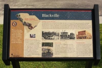
Blackville
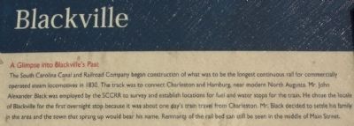
A Glimpse into Blackville's Past
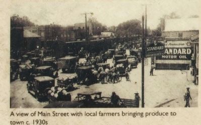
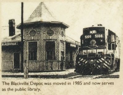
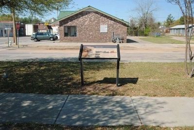
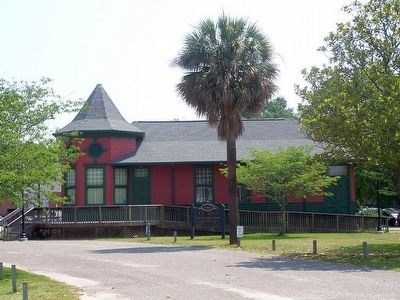
The South Carolina Canal and Railroad Company began construction of what was to be the longest continuous rail for commercially operated steam locomotives in 1830. The track was to connect Charleston and Hamburg, near modern North Augusta. Mr. John Alexander Black was employed by the SCCRR to survey and establish locations for fuel and water stops for the train. He chose the locale of Blackville for the first overnight stop because it was about one day's train travel from Charleston. Mr. Black decided to settle his family in the area and the town that sprung up would bear his name. Remnants of the rail bed can still be seen in the middle of Main Street.
[Left Text]
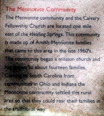
The Mennonite Community
The Mennonite community was the Calvary Fellowship Church are located one mile east of the healing Springs. This community is made up of Amish-Mennonite families that came to this area in the late 1960s. The community began a mission church and has grown to about fourteen families.
Coming to South Carolina from communities in Ohio and Indiana the Mennonite community settled this rural area so that they could rear their families in the traditional way.
[Lower Center Text]
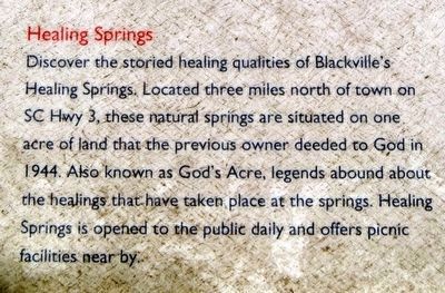
Healing Springs
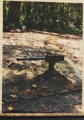
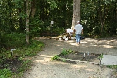
Discover the storied healing qualities of Blackville's Healing Springs. Locate three miles north of town on SC Hwy 3, these natural springs are situated on one acre of land that the previous owner deeded to God in 1944. Also known as God's Acre, legends abound about the healings that have taken place at the springs. Healing Springs is opened to the public daily and offers picnic facilities near by.
[Lower Right Text]
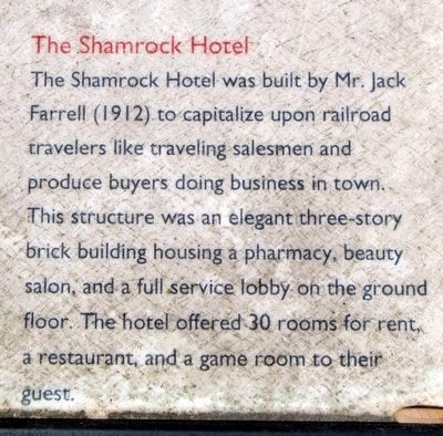
The Shamrock Hotel
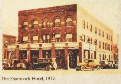
The Shamrock Hotel was built by Mr. Jack Farrell (1912) to capitalize upon railroad travelers like traveling salesmen and produce buyers doing business in town. This structure was an elegant three-story brick building housing a pharmacy, beauty salon, and a full service lobby on the ground floor. The hotel offered 30 rooms for rent, a restaurant, and a game room to their guest.
Erected by South Carolina National Heritage Corridor.
Topics and series. This historical marker is listed in this topic list: Notable Places. In addition, it is included in the South Carolina Heritage Corridor series list. A significant historical year for this entry is 1830.
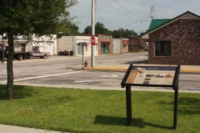
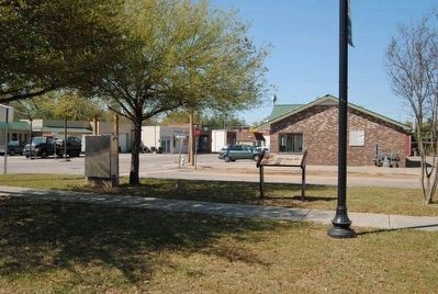
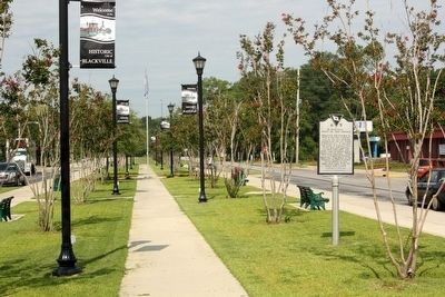
Location. 33° 21.304′ N, 81° 16.222′ W. Marker is in Blackville, South Carolina, in Barnwell County. Marker is on Main Street (State Highway 6-76) near Soloman Blatt Avenue (State Highway 3), in the median. Touch for map. Marker is in this post office area: Blackville SC 29817, United States of America. Touch for directions.
Other nearby markers. At least 10 other markers are within 6 miles of this marker, measured as the crow flies. Solomon Blatt, Sr. (within shouting distance of this marker); Blackville : Town Of The Phoenix / Battle of Blackville, 1865 (about 300 feet away, measured in a direct line); Barnwell County Courthouse (about 600 feet away); Macedonia Baptist Church (approx. ¼ mile away); Solomon Blatt Highway (approx. 2½ miles away); Healing Springs (approx. 2.6 miles away); God’s Acre Healing Springs (approx. 2.6 miles away); a different marker also named God’s Acre Healing Springs (approx. 2.6 miles away); a different marker also named God’s Acre Healing Springs (approx. 2.8 miles away); Hilda (approx. 5.8 miles away). Touch for a list and map of all markers in Blackville.
Credits. This page was last revised on June 16, 2016. It was originally submitted on September 3, 2011, by Mike Stroud of Bluffton, South Carolina. This page has been viewed 962 times since then and 25 times this year. Photos: 1, 2. submitted on September 3, 2011, by Mike Stroud of Bluffton, South Carolina. 3, 4, 5. submitted on June 12, 2016, by Brian Scott of Anderson, South Carolina. 6, 7, 8, 9, 10. submitted on September 3, 2011, by Mike Stroud of Bluffton, South Carolina. 11. submitted on June 12, 2016, by Brian Scott of Anderson, South Carolina. 12. submitted on September 3, 2011, by Mike Stroud of Bluffton, South Carolina. 13. submitted on June 12, 2016, by Brian Scott of Anderson, South Carolina. 14, 15. submitted on September 3, 2011, by Mike Stroud of Bluffton, South Carolina.
