Henrico in Henrico County, Virginia — The American South (Mid-Atlantic)
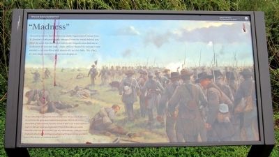
"Madness"
“As we came fully in sight of the Federal batteries, not 400 yards distant in our front, the open space behind them became black with troops, thousands of whom issued from the woods in their rear. It was madness to go on, but our men moved steadily forward till within 250 yards, when the order was given to fire, and they immediately, without orders, dropped to the ground and began loading and firing as fast as possible.”
James J. Hutchinson, 5th Alabama Infantry
Erected 2011 by Richmond National Battlefield Park.
Topics. This historical marker is listed in this topic list: War, US Civil.
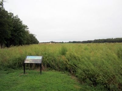
Location. 37° 25.214′ N, 77° 15.086′ W. Marker is in Henrico, Virginia, in Henrico County. Marker is on Carters Mill Road, 0.3 miles north of Willis Church Road (Virginia Route 156), on the left when traveling north . Marker is located in the Malvern Hill Unit of Richmond National Battlefield Park. Touch for map. Marker is at or near this postal address: 9175 Willis Church Road, Henrico VA 23231, United States of America. Touch for directions.
Other nearby markers. At least 8 other markers are within walking distance of this marker. Battlefield Burials (within shouting distance of this marker); Malvern Hill (about 400 feet away, measured in a direct line); Confederate Futility (about 500 feet away); a different marker also named Confederate Futility (about 500 feet away); Outgunned (about 500 feet away); Historic Farm Road (approx. 0.2 miles away); The Confederate High Water Mark (approx. 0.2 miles away); Willis Church Parsonage (approx. ľ mile away). Touch for a list and map of all markers in Henrico.
Also see . . .
1. The Battle of Malvern Hill. Richmond National Battlefield Park (Submitted on September 7, 2011, by Bernard Fisher of Richmond, Virginia.)
2. Malvern Hill. Civil War Trust (Submitted on September 7, 2011, by Bernard Fisher of Richmond, Virginia.)
Credits. This page was last revised on June 16, 2016. It was originally submitted on September 7, 2011, by Bernard Fisher of Richmond, Virginia. This page has been viewed 643 times since then and 19 times this year. Photos: 1, 2. submitted on September 7, 2011, by Bernard Fisher of Richmond, Virginia.

