Near Locust Grove in Orange County, Virginia — The American South (Mid-Atlantic)
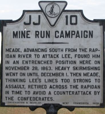
Mine Run Campaign
Erected 1929 by Conservation & Development Commission. (Marker Number JJ-10.)
Topics and series. This historical marker is listed in this topic list: War, US Civil. In addition, it is included in the Virginia Department of Historic Resources (DHR) series list. A significant historical month for this entry is November 1863.
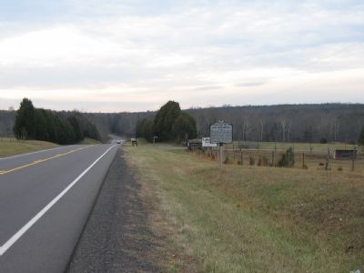
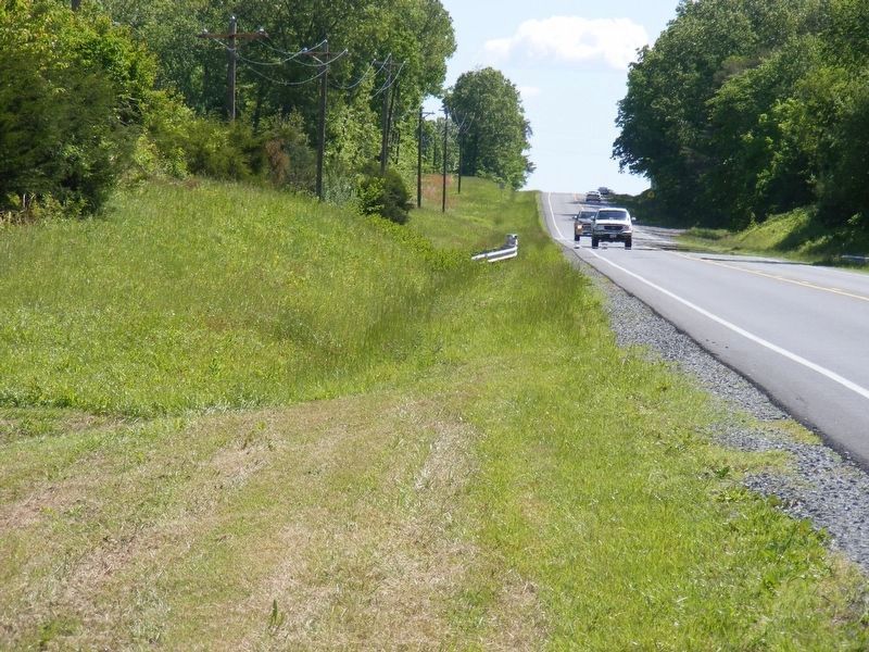
Location. This marker has been replaced by another marker nearby. It was located near 38° 17.811′ N, 77° 50.797′ W. Marker was near Locust Grove, Virginia, in Orange County. Marker was at the intersection of Constitution Highway (State Highway 20), on the right when traveling west on Constitution Highway. Touch for map. Marker was in this post office area: Locust Grove VA 22508, United States of America. Touch for directions.
Other nearby markers. At least 8 other markers are within 3 miles of this location, measured as the crow flies. Face Off (approx. 2 miles away); a different marker also named Mine Run Campaign (approx. 2 miles away); Robinson's Tavern (approx. 2.1 miles away); a different marker also named Mine Run Campaign (approx. 2.1 miles away); a different marker also named The Mine Run Campaign (approx. 2.6 miles away); a different marker also named The Mine Run Campaign (approx. 2.6 miles away); The Battle of Payne’s Farm (approx. 2.7 miles away); a different marker also named The Battle of Payne’s Farm (approx. 2.8 miles away). Touch for a list and map of all markers in Locust Grove.
Regarding Mine Run Campaign. This marker is one in a series that detail the Mine Run Campaign. See the Mine Run Virtual Tour by Markers link below for a full list.
Also see . . .
1. A Photo Tour of the Campaign Area. (Submitted on January 13, 2008, by Craig Swain of Leesburg, Virginia.)
2. After going missing three years ago, new historical marker unveiled in Locust Grove. (Submitted on September 11, 2019.)
Photographed By Craig Swain
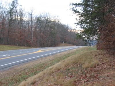
4. Federal Lines
Here, to the west of the Robinson's Tavern site and to the east of the marker location, Federal forces in General Sedgwick's VI Corps entrenched as they faced the Confederate lines about two miles further west beyond Mine Run. The armies engaged here were the same as those which fought at Gettysburg, earlier in the year. Consider that Pickett's famous charge in that battle traversed a mile over open fields. Here at Mine Run a proposed Federal attack would cover double that distance over broken ground. All this a very good reason why Mine Run was a battle that never really got started.
Photographed By Craig Swain, January 5, 2008
5. Mine Run
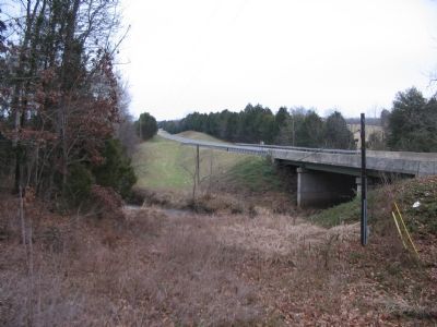
Here were the Orange Turnpike (modern VA 20) crosses Mine Run, the advanced Confederate defenses were positioned to contest any Federal attack. Even if the two miles of broken ground is overcome, the Federals still had to ford the stream. Thus adding another consideration for the commanders in blue.
Photographed By Craig Swain, January 5, 2008
6. Confederate Lines
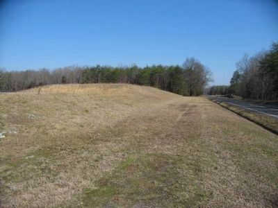
Here along Virginia Highway 20 (looking east back at the Mine Run Bridge), at the high ground west of Mine Run, the Confederates built several fortified artillery positions to cover the valley of Mine Run. The berm here is not natural or part of the fortifications, but rather a modern excavation of a pumping station.
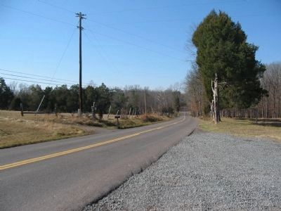
CR 692 closely follows the trace of the Confederate line of defenses on the west side of Mine Run. While several traces of earthworks exist along the woods and fields, these remain on private property.
CR 692 closely follows the trace of the Confederate line of defenses on the west side of Mine Run. While several traces of earthworks exist along the woods and fields, these remain on private property.
Photographed By Craig Swain, February 16, 2008
7. Warren Hesitates
Looking from The Old Plank Road (CR 621) over the valley around Mine Run. On the morning of November 30, Federal II Corps commander General G. K. Warren assessed the situation from here and concluded any attack on the Confederate works further to the west would be fruitless. The proposed attack route included fording of Mine Run and advancing around 300 yards against a well dug in Confederate line. Warren declined to attack, and called for his superior, General Meade to inspect the situation himself. Meade concurred and the Mine Run Campaign was effectively over.
Credits. This page was last revised on December 18, 2020. It was originally submitted on January 13, 2008, by Craig Swain of Leesburg, Virginia. This page has been viewed 2,396 times since then and 28 times this year. Last updated on December 16, 2020, by Shane Oliver of Richmond, Virginia. Photos: 1, 2. submitted on January 13, 2008, by Craig Swain of Leesburg, Virginia. 3. submitted on May 8, 2017, by Pete Payette of Orange, Virginia. 4, 5, 6. submitted on January 13, 2008, by Craig Swain of Leesburg, Virginia. 7. submitted on February 17, 2008, by Craig Swain of Leesburg, Virginia. • J. Makali Bruton was the editor who published this page.
