Near Orange in Orange County, Virginia — The American South (Mid-Atlantic)
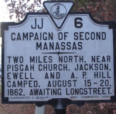
Campaign of Second Manassas
Erected 1935 by Conservation & Development Commission. (Marker Number JJ-6.)
Topics and series. This historical marker is listed in this topic list: War, US Civil. In addition, it is included in the Virginia Department of Historic Resources (DHR) series list. A significant historical date for this entry is August 15, 1862.
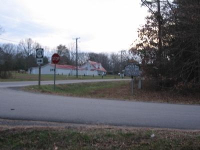
Location. 38° 15.439′ N, 78° 0.71′ W. Marker is near Orange, Virginia, in Orange County. Marker is at the intersection of Constitution Highway (Virginia Route 20) and Clifton Road (County Route 628), on the right when traveling west on Constitution Highway. Touch for map. Marker is in this post office area: Orange VA 22960, United States of America. Touch for directions.
Other nearby markers. At least 8 other markers are within 6 miles of this marker, measured as the crow flies. Elder John Leland (within shouting distance of this marker); Bloomsbury (approx. 2.3 miles away); Isabella Lightfoot Training School (approx. 3.1 miles away); Lee's Headquarters (approx. 3.6 miles away); Locust Grove (approx. 4.6 miles away); Campaign of 1781 (approx. 4.7 miles away); Town of Orange (approx. 5.4 miles away); Orange County Visitor Center (approx. 5.4 miles away). Touch for a list and map of all markers in Orange.
Also see . . . Animated Overview of the Second Manassas Campaign. An excellent visual guide through the campaign leading up to the battle of Second Masassas. (Submitted on January 13, 2008, by Craig Swain of Leesburg, Virginia.)
Additional commentary.
1. Pisgah Church
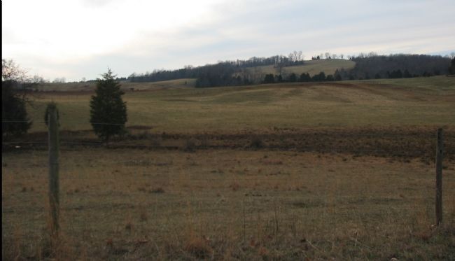
The place name Pisgah Church should refer to Mt. Pisgah Church to the north of Orange and to the west of Rapidan, and thus much more than "two miles north" of the marker. With the encampment of three full Confederate divisions, plus additional attached forces, the forces were spread across the fields and farms on the south side of the Rapidan River.
— Submitted January 13, 2008, by Craig Swain of Leesburg, Virginia.
Credits. This page was last revised on April 14, 2021. It was originally submitted on January 13, 2008, by Craig Swain of Leesburg, Virginia. This page has been viewed 1,377 times since then and 49 times this year. Last updated on April 12, 2021, by Carl Gordon Moore Jr. of North East, Maryland. Photos: 1, 2, 3. submitted on January 13, 2008, by Craig Swain of Leesburg, Virginia. • Bernard Fisher was the editor who published this page.


