Superior in Douglas County, Wisconsin — The American Midwest (Great Lakes)
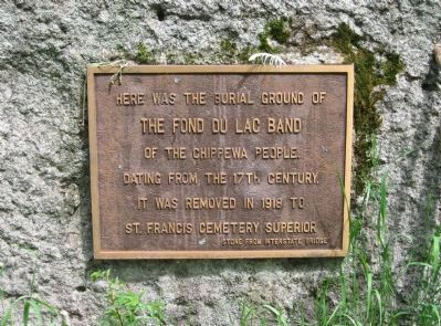
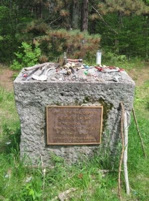
Burial Ground of the Fond du Lac Band
The Fond du Lac Band
of the Chippewa People
dating from the 17th century.
It was removed in 1918 to
St. Francis Cemetery Superior.
Stone from Interstate Bridge
Topics. This historical marker is listed in these topic lists: Cemeteries & Burial Sites • Native Americans. A significant historical year for this entry is 1918.
Location. 46° 42.166′ N, 92° 0.531′ W. Marker is in Superior, Wisconsin, in Douglas County. Marker can be reached from Wisconsin Point Road, 3.1 miles north of Moccasin Mike Road, on the right when traveling north. Moccasin Mike Road can be reached from the intersection of US Highway 2 / 53 and County Highway E. Touch for map. Marker is in this post office area: Superior WI 54880, United States of America. Touch for directions.
Other nearby markers. At least 8 other markers are within 3 miles of this marker, measured as the crow flies. Superior Entry South Breakwater Light (approx. 0.2 miles away); The Superior Entry (approx. 0.3 miles away); Burlington Northern Ore Docks (approx. 1.1 miles away); Lake Superior (approx. 1.3 miles away); Old Stockade Site (approx. 2.2 miles away); Duluth-Superior Harbor (approx. 2.2 miles away); Northwest Portal of Wisconsin (approx. 2.6 miles away); S.S. Meteor (approx. 2.9 miles away). Touch for a list and map of all markers in Superior.
Also see . . . Anishinaabe. Wikipedia entry (Submitted on January 28, 2021, by Larry Gertner of New York, New York.)
via Superior, unknown
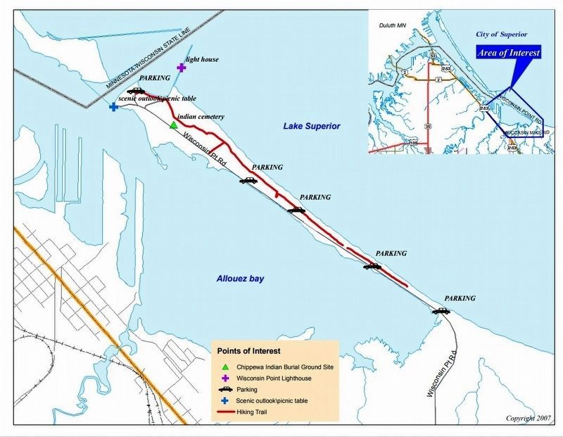
5. Wisconsin Point Trail Map
Burial Ground of the Fond du Lac Band shown
Click for more information.
Click for more information.
Credits. This page was last revised on May 23, 2021. It was originally submitted on September 13, 2011, by Keith L of Wisconsin Rapids, Wisconsin. This page has been viewed 1,305 times since then and 47 times this year. Photos: 1, 2, 3, 4. submitted on September 13, 2011, by Keith L of Wisconsin Rapids, Wisconsin. 5. submitted on May 23, 2021, by Larry Gertner of New York, New York.
