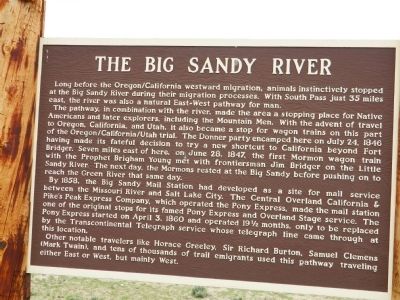
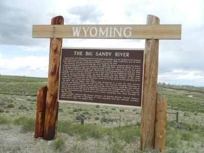
The Big Sandy River
The pathway, in combination with the river, made the area a stopping place for Native Americans and later explorers, including the Mountain Men. With the advent of travel to Oregon, California, and Utah, it also became a stop for wagon trains on this part of the Oregon/California/Utah trial. The Donner party encamped here on July 24, 1846 having made its fateful decision to try a new shortcut to California beyond Fort Bridger. Seven miles east of here, on June 28, 1847, the first Mormon wagon train with the Prophet Brigham Young met with frontiersman Jim Bridger on the Little Sandy River. The next day, the Mormons rested at the Big Sandy before pushing on to reach the Green River that same day.
By 1858, the Big Sandy Mail Station had developed as a site for mail service between the Missouri River and Salt Lake City. The Central Overland California & Pike’s Peak Express Company, which operated the Pony Express, made the mail station one of the original stops for its famed Pony Express and Overland Stage service. The Pony Express started on April 3, 1860 and operated 19 ½ months, only to be replaced
by the Transcontinental Telegraph service whose telegraph line came through at this location. Other notable travelers like Horace Greeley, Sir Richard Burton, Samuel Clemens (Mark Twain), and tens of thousands of trail emigrants used this pathway traveling either East or West, but mainly West.
Topics and series. This historical marker is listed in these topic lists: Communications • Exploration • Settlements & Settlers • Waterways & Vessels. In addition, it is included in the Pony Express National Historic Trail series list. A significant historical month for this entry is April 1860.
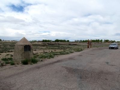
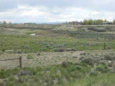
Location. 42° 6.484′ N, 109° 27.179′ W. Marker is in Farson, Wyoming, in Sweetwater County. Marker is on State Highway 28, 0.1 miles west of U.S. 191. Touch for map. Marker is in this post office area: Farson WY 82932, United States of America. Touch for directions.
Other nearby markers. At least 8 other markers are within 10 miles of this marker, measured as the crow flies. Little Sandy Crossing (a few steps from this marker); To the Brave Men Who Rode the Pony Express (approx. 0.2 miles away); To All Pioneers Who Passed This Way to Win and Hold the West (approx. 7.9 miles away); a different marker also named Little Sandy Crossing (approx. 8.1 miles away); Burning Wagons (approx. 9.4 miles away); Simpson's Hollow (approx. 9.4 miles away); The Utah War
Credits. This page was last revised on June 16, 2016. It was originally submitted on September 14, 2011, by Bill Pfingsten of Bel Air, Maryland. This page has been viewed 1,382 times since then and 76 times this year. Photos: 1, 2. submitted on September 14, 2011, by Bill Pfingsten of Bel Air, Maryland. 3. submitted on January 23, 2014, by Duane Hall of Abilene, Texas. 4. submitted on September 14, 2011, by Bill Pfingsten of Bel Air, Maryland.


