Fort Gaines in Clay County, Georgia — The American South (South Atlantic)
1814 Boundary / Founding of Fort Gaines
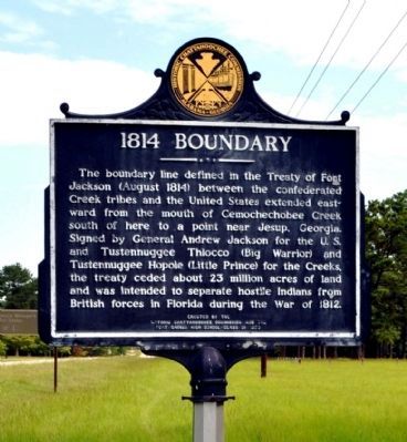
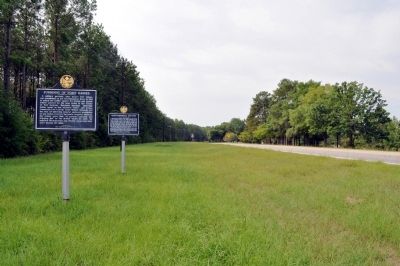
1814 Boundary
The boundary line defined in the Treaty of Fort Jackson (August 1814) between the confederated Creek tribes and the United States extended eastward from the mouth of Cemochechobee Creek south of here to a point near Jesup, Georgia. Signed by General Andrew Jackson for the U.S. and Tustennugge Thlocco (Big Warrior) and Thstennugge Hopoie (Little Prince) for the Creeks, the treaty ceded about 23 million acres of land and was intended to separate hostile Indians from British forces in Florida during the War of 1812.
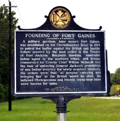
Founding of Fort Gaines
A military garrison, later named Fort Gaines, was established on the Chattahoochee River in 1814 to patrol the buffer against the British and hostile Indians created by the land ceded in the Treaty of Fort Jackson. Benjamin Hawkins, venerable Indian agent to the southern tribes, and troops commanded by Coweta Chief William McIntosh had the task of enforcing General Jackson’s prohibition of any Indian entering the newly acquired territory. His orders were that “all persons carrying and bringing lies” to the British would be shot. He believed Oketeyeconne and Hitchiti towns near here were havens for spies.
Erected 1989 by Historic Chattahoochee Commission and the Fort Gaines High School Class
Topics and series. This historical marker is listed in these topic lists: Native Americans • War of 1812 • Wars, US Indian. In addition, it is included in the Former U.S. Presidents: #07 Andrew Jackson series list. A significant historical year for this entry is 1814.
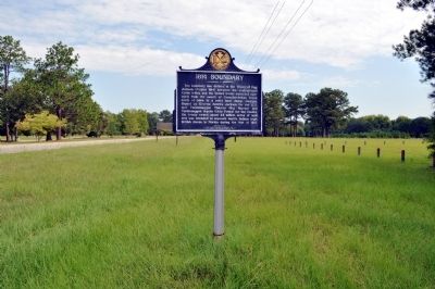
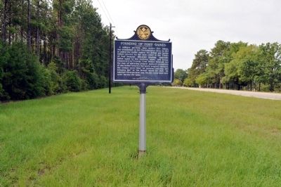
Location. 31° 38.017′ N, 85° 2.643′ W. Marker is in Fort Gaines, Georgia, in Clay County. Marker is on Eufaula Street (Georgia Route 39) 0.6 miles north of Coleman Road (Georgia Route 266), on the right when traveling north. The marker is located at the East Bank Recreation Area, Lake Walter F. George, just north of the road leading to the dam. Touch for map. Marker is in this post office area: Fort Gaines GA 39851, United States of America. Touch for directions.
Other nearby markers. At least 8 other markers are within 2 miles of this marker, measured as the crow flies. Oketeyeconne / Chattahoochee Theater (here, next to this marker); Site of the First Clay County Courthouse and Jail (approx. 1.9 miles away); Historic Sites (approx. 1.9 miles away); Fort Gaines Guards (approx. 2 miles away); Old Pioneer Cemetery (approx. 2 miles away); The Old Lattice Bridge (approx. 2 miles away); In the Confederacy (approx. 2 miles away); The 1836 Fort (approx. 2 miles away). Touch for a list and map of all markers in Fort Gaines.
Credits. This page was last revised on June 16, 2016. It was originally submitted on September 16, 2011, by David Seibert of Sandy Springs, Georgia. This page has been viewed 1,316 times since then and 32 times this year. Photos: 1, 2, 3, 4, 5, 6. submitted on September 16, 2011, by David Seibert of Sandy Springs, Georgia. • Bill Pfingsten was the editor who published this page.
