Rapidan in Culpeper County, Virginia — The American South (Mid-Atlantic)
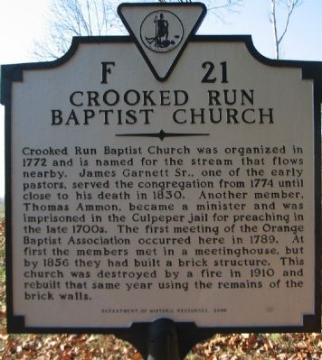
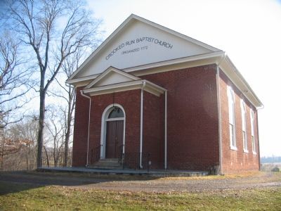
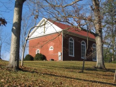
Crooked Run Baptist Church
Erected 2000 by Department of Historic Resources. (Marker Number F-21.)
Topics and series. This historical marker is listed in this topic list: Churches & Religion. In addition, it is included in the Virginia Department of Historic Resources (DHR) series list. A significant historical year for this entry is 1772.
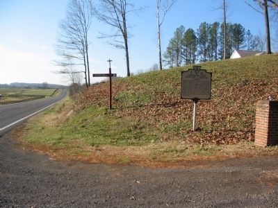
Location. 38° 21.723′ N, 78° 6.441′ W. Marker is in Rapidan, Virginia, in Culpeper County. Marker is on James Madison Highway (U.S. 15), on the right when traveling south. Located at the entrance to the church parking lot. Touch for map. Marker is in this post office area: Rapidan VA 22733, United States of America. Touch for directions.
Other nearby markers. At least 8 other markers are within 4 miles of this marker, measured as the crow flies. Madison County / Culpeper County (approx. 0.7 miles away); Jackson’s Crossing (approx. 1.1 miles away); George Washington Carver Regional High School (approx. 3.2 miles away); Pete Hill (approx. 3˝ miles away); Battle of Cedar Mountain (approx. 3˝ miles away); a different marker also named Battle of Cedar Mountain (approx. 3.6 miles away); a different marker also named Battle of Cedar Mountain (approx. 3.6 miles away); a different marker also named Battle of Cedar Mountain (approx. 3.6 miles away). Touch for a list and map of all markers in Rapidan.
Regarding Crooked Run Baptist Church. A previous F-21 also titled Crooked Run Baptist Church, read "This church was organized in 1772. Among its first pastors was Thomas Ammon, who had once been imprisoned for preaching. In 1789, the first meeting of the Orange Association was held at this church."
Credits. This page was last revised on June 16, 2016. It was originally submitted on January 14, 2008, by Craig Swain of Leesburg, Virginia. This page has been viewed 2,319 times since then and 90 times this year. Photos: 1, 2, 3, 4, 5. submitted on January 14, 2008, by Craig Swain of Leesburg, Virginia.
