Topeka in Shawnee County, Kansas — The American Midwest (Upper Plains)
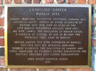
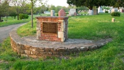
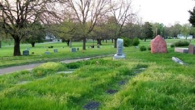
Crawford - Capper Burial Site
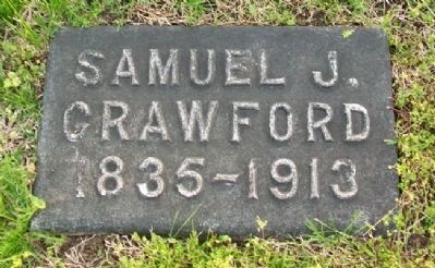
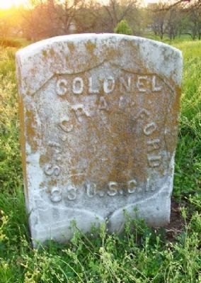
Samuel Crawford, publisher, attorney, farmer, and financial agent, served as Third Governor of Kansas, 1856-1868, and as head of the 19th Kansas Volunteer Cavalry, 1868-1869. His wife, Isabel, the daughter of Enoch Chase, a founder of Topeka, at age 18 became the youngest First Lady of Kansas.
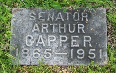
Arthur Capper, the 20th Governor of Kansas, 1915-1919, and U.S. Senator, 1919-1949, married Florence, daughter of Samuel and Isabel Crawford. He founded Capper Foundation for Crippled Children and Capper Publications.
Erected 1993 by John Haupt Chapter, NSDAR.
Topics and series. This historical marker is listed in these topic lists: Cemeteries & Burial Sites • Charity & Public Work • Government & Politics • Settlements & Settlers. In addition, it is included in the Daughters of the American Revolution series list.
Location. 39° 2.552′ N, 95° 39.178′ W. Marker is in Topeka, Kansas, in Shawnee County. Monument is in Section 58 of Topeka Cemetery. Touch for map. Marker is at or near this postal address: 1601 SE 10th Avenue, Topeka KS 66607, United States of America. Touch for directions.
Other nearby markers. At least 8 other markers are within 2 miles of this marker, measured as the crow flies. Battle of the Blue (about 300 feet away, measured in a direct line); Franklin Loomis Crane (about 700 feet away); Henry Murphy Walsh and Every A.E.F. "Runner" (approx. 0.2 miles away); Charles Curtis (approx. ¼ mile away); Topeka Tornado Victims (approx. 0.4 miles away); Mariachi Divina! (approx. 1.1 miles away); Site of the First State Capitol (approx. 1.2 miles away); A Turning Point for Equality (approx. 1.3 miles away). Touch for a list and map of all markers in Topeka.
Also see . . .
1. Samuel J. Crawford. Kansapedia website entry (Submitted on February 6, 2022, by Larry Gertner of New York, New York.)
2. Arthur Capper. Kansapedia website entry (Submitted on September 19, 2011, by William Fischer, Jr. of Scranton, Pennsylvania.)
3. Arthur Capper. Biographical Directory of the U.S. Congress website entry (Submitted on September 19, 2011, by William Fischer, Jr. of Scranton, Pennsylvania.)
Credits. This page was last revised on February 6, 2022. It was originally submitted on September 19, 2011, by William Fischer, Jr. of Scranton, Pennsylvania. This page has been viewed 487 times since then and 4 times this year. Photos: 1, 2, 3, 4, 5, 6. submitted on September 19, 2011, by William Fischer, Jr. of Scranton, Pennsylvania.
