Near Burnt Corn in Monroe County, Alabama — The American South (East South Central)
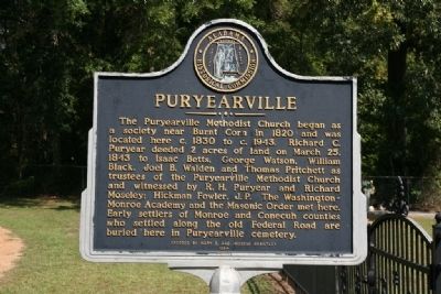
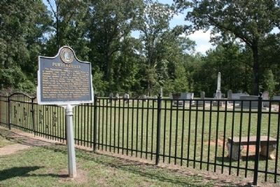
Puryearville
Erected 1984 by Alabama Historical Commission along with Mary E. and Imogene Brantley.
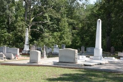
Topics and series. This historical marker is listed in these topic lists: Cemeteries & Burial Sites • Churches & Religion • Settlements & Settlers. In addition, it is included in the Alabama Historical Commission series list. A significant historical month for this entry is March 1819.
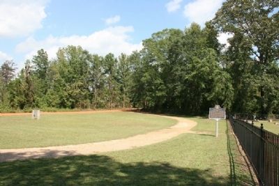
Location. 31° 32.717′ N, 87° 11.57′ W. Marker is near Burnt Corn, Alabama, in Monroe County. Marker is on Perryville Road south of County Road 30, on the left when traveling south. Touch for map. Marker is in this post office area: Monroeville AL 36460, United States of America. Touch for directions.
Other nearby markers. At least 8 other markers are within 4 miles of this marker, measured as the crow flies. Dr. John Watkins (approx. 2 miles away); Old Federal Road (approx. 2 miles away); Burnt Corn Male Academy (approx. 2.2 miles away); Burnt Corn Spring (approx. 2.4 miles away); Dr. Watkins House (approx. 2.8 miles away); First School in Conecuh County (approx. 2.8 miles away); John Green Cemetery (approx. 3.3 miles away); James Salter (approx. 3.4 miles away). Touch for a list and map of all markers in Burnt Corn.
Credits. This page was last revised on November 21, 2018. It was originally submitted on September 29, 2011, by Timothy Carr of Birmingham, Alabama. This page has been viewed 1,269 times since then and 56 times this year. Photos: 1. submitted on September 29, 2011, by Timothy Carr of Birmingham, Alabama. 2, 3, 4. submitted on October 2, 2011, by Timothy Carr of Birmingham, Alabama. • Syd Whittle was the editor who published this page.


