Near Beatrice in Monroe County, Alabama — The American South (East South Central)
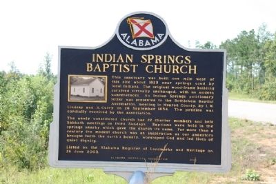
Indian Springs Baptist Church
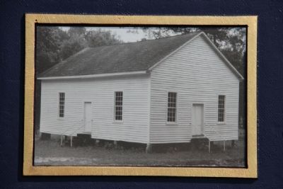
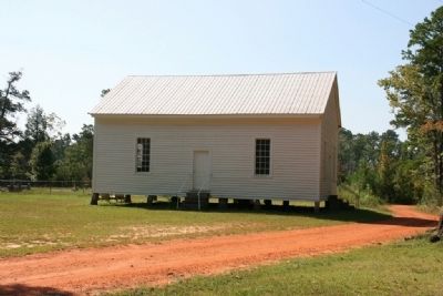
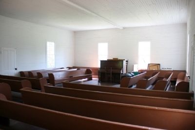
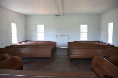
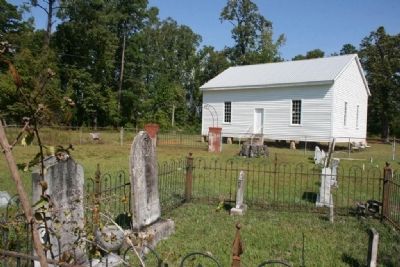
This sanctuary was built one mile west of this site about 1825 near springs used by local Indians. The original wood-frame building survived virtually unchanged, with no modern conveniences. An Indian Springs petitionary letter was presented to the Bethlehem Baptist Association, meeting in Monroe County, by L. W. Lindsay and A. Curry on 26 September 1834. The petition was cordially received by the association.
The newly constituted church had 22 charter members and held Sabbath meetings on third Sundays. Baptisms were held in the springs nearby which gave the church its name. For more than a century the modest church was an inspiration as our ancestors brought forth the earth's bounty, worshiped God and led lives of quiet dignity.
Listed on the Alabama Register of Landmarks and Heritage on 26 June 2003.
Erected 2003 by Alabama Historical Association.
Topics and series. This historical marker is listed in this topic list: Churches & Religion. In addition, it is included in the Alabama Historical Association series list. A significant historical date for this entry is June 26, 2003.
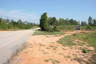
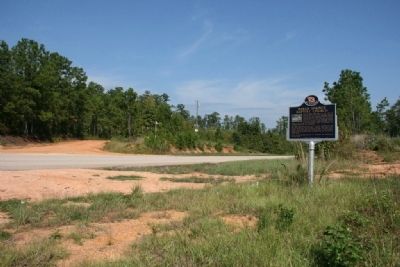
Location. 31° 47.728′ N, 87° 5.616′ W. Marker is near Beatrice, Alabama, in Monroe County. Marker is on State Road 21, 5 miles north of State Road 47, on the right when traveling north. Touch for map. Marker is in this post office area: Beatrice AL 36425, United States of America. Touch for directions.
Other nearby markers. At least 8 other markers are within 10 miles of this marker, measured as the crow flies. Midway (approx. 5.9 miles away); Pine Apple Historic District (approx. 7.7 miles away); Moore Academy (approx. 7.9 miles away); a different marker also named Pine Apple Historic District (approx. 8 miles away); Downtown Pine Apple (approx. 8.2 miles away); Old Federal Road (approx. 8˝ miles away); Town of Oak Hill (approx. 8.8 miles away); Buena Vista (approx. 9.8 miles away).
Credits. This page was last revised on June 16, 2016. It was originally submitted on September 29, 2011, by Timothy Carr of Birmingham, Alabama. This page has been viewed 871 times since then and 32 times this year. Photos: 1. submitted on September 29, 2011, by Timothy Carr of Birmingham, Alabama. 2, 3, 4, 5, 6, 7, 8. submitted on October 2, 2011, by Timothy Carr of Birmingham, Alabama. • Bill Pfingsten was the editor who published this page.
