Pine Apple in Wilcox County, Alabama — The American South (East South Central)
Downtown Pine Apple
Front:
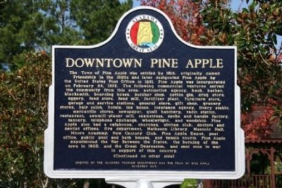
The Town of Pine Apple was settled by 1816, originally named Friendship in the 1820s and later designated Pine Apple by the United States Post Office in 1851. Pine Apple was incorporated on February 24, 1872. The following commercial ventures served the community from this area: automotive agency, bank, barber, blacksmith, boarding house, butcher shop, cotton gin, drug store, garage and service stations, general store, gift shop, grocery stores, hair salon, hotels, ice house, insurance agency, livery stables, mercantile stores, newspaper, quail hatchery, radio station, restaurant, sawmill-planer mill, seamstress, spoke and handle factory, tannery, telephone exchange, wheelwright, and woodshop. Pine Apple also had a calaboose, churches, civitan club, doctors and dentist offices, fire department, Matheson Library, Masonic Hall, Moore Academy, New Century Club, Pine Apple Depot, post office, public pool and bath houses, and tennis courts. Pine Apple experienced the War Between the States, the burning of the town in 1903, and the Great Depression, and sent sons to war in support of this country.
(Continued on other side)
Reverse:
(Continued from other side)
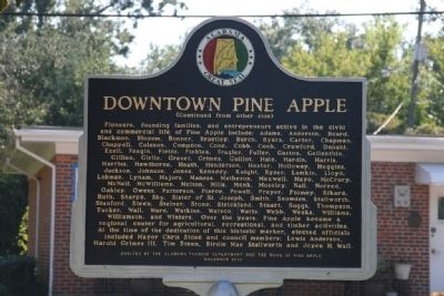
Pioneers, founding families, and entrepreneurs active in the civic and commercial life of Pine Apple include: Adams, Anderson, Beard, Blackmon, Bloxom, Bonner, Brantley, Burch, Byars, Carter, Chapman, Chappell, Coleson, Compton, Cone, Cobb, Cook, Crawford, Donald, Ezell, Feagin, Fields, Finklea, Frazier, Fuller, Gaston, Gellenthin, Gillian, Girlie, Gravet, Grimes, Guillot, Hale, Hardin, Harris, Harriss, Hawthorne, Heath, Henderson, Hester, Holoway, Huggins, Jackson, Johnson, Jones, Kennedy, Knight, Kyser, Lamkin, Lloyd, Lobman, Lynam, Majors, Maness, Matheson, Maxwell, Mayo, McCrory, McNeil, McWilliams, Melton, Mills, Monk, Moseley, Nail, Norred, Oakley, Owens, Patterson, Pierce, Powell, Preyer, Ptomey, Rikard, Ruth, Sharpe, Shy, Sister of St. Joseph, Smith, Snowden, Stallworth, Stanford, Steen, Steiner, Stone, Strickland, Stuart, Suggs, Thompson, Tucker, Wall, Ward, Watkins, Watson, Watt, Webb, Weeks, Williams, Williamson, and Winters. Over the years, Pine Apple became a regional center for agricultural, recreational, and timber activities. At the time of the dedication of this historic marker, elected officials included Mayor Chris Stone and council members; Lewis Anderson, Harold Grimes III, Tim Steen, Birdie Mae Stallworth and Joyce H. Wall.
Erected 2010 by Alabama Tourism Department and the Town of Pine Apple.
Topics. This historical marker is listed in this topic list: Settlements & Settlers. A significant historical month for this entry is February 1882.
Location. 31° 52.45′ N, 86° 59.339′ W. Marker is in Pine Apple, Alabama, in Wilcox County. Marker is on Broad Street (County Road 59). Touch for map. Marker is at or near this postal address: 45 County Road 59, Pine Apple AL 36768, United States of America. Touch for directions.
Other nearby markers. At least 8 other markers are within 10 miles of this marker, measured as the crow flies. Pine Apple Historic District (approx. 0.4 miles away); Moore Academy (approx. half a mile away); a different marker also named Pine Apple Historic District (approx. one mile away); Town of Oak Hill (approx. 6.4 miles away); The Butler Massacre / Fort Bibb (approx. 6.7 miles away); Indian Springs Baptist Church (approx. 8.2 miles away); Furman National Historic District (approx. 8.9 miles away); Old Federal Road (approx. 9.6 miles away). Touch for a list and map of all markers in Pine Apple.
Credits. This page was last revised on June 16, 2016. It was originally submitted on September 29, 2011, by Timothy Carr of Birmingham, Alabama. This page has been viewed 1,025 times since then and 69 times this year. Photos: 1, 2. submitted on September 29, 2011, by Timothy Carr of Birmingham, Alabama. • Bill Pfingsten was the editor who published this page.

