Hastings in Dakota County, Minnesota — The American Midwest (Upper Plains)
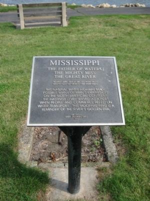
Mississippi
The Mighty Miss
The Great River
Source: Lake Itasca MN 552 River Miles
Mouth: Gulf of Mexico 1788 River Miles
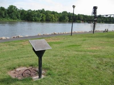
This natural water highway made possible many of man's experiences on the North American continent. The Hastings Levee served as a port when people and commerce relied on water transport. This mooring ring is a reminder of the River's golden era.
Hazel Jacobsen Theel
1999
Erected 1999 by Hazel Jacobsen Theel.
Topics. This historical marker is listed in this topic list: Waterways & Vessels. A significant historical year for this entry is 1788.
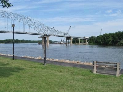
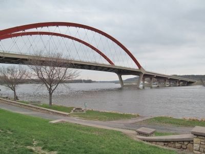
Location. 44° 44.734′ N, 92° 51.033′ W. Marker is in Hastings, Minnesota, in Dakota County. Marker can be reached from 1st Street near Ramsey Street. Marker is along the Mississippi River in Veteran’s Memorial Levee Park. Touch for map. Marker is in this post office area: Hastings MN 55033, United States of America. Touch for directions.
Other nearby markers. At least 8 other markers are within walking distance of this marker. Veterans Memorial Levee (within shouting distance of this marker); Spiral Bridge (within shouting distance of this marker); Hastings Spiral Bridge (within shouting distance of this marker); Hastings Grows (within shouting distance of this marker); American Legion Veterans Memorial (within shouting distance of this marker); Downtown Develops (about 400 feet away, measured in a direct line); Gardner House Hotel (about 400 feet away); The Pringle Hardware Building (about 400 feet away). Touch for a list and map of all markers in Hastings.
Also see . . .
1. Hastings, Minnesota. Wikipedia entry. (Submitted on October 3, 2011.)
2. The Mississippi Flood of 1965. (Submitted on October 3, 2011.)
Credits. This page was last revised on June 16, 2016. It was originally submitted on October 3, 2011, by Keith L of Wisconsin Rapids, Wisconsin. This page has been viewed 677 times since then and 9 times this year. Photos: 1, 2, 3. submitted on October 3, 2011, by Keith L of Wisconsin Rapids, Wisconsin. 4. submitted on May 14, 2014, by Keith L of Wisconsin Rapids, Wisconsin.


