Rockport in Essex County, Massachusetts — The American Northeast (New England)
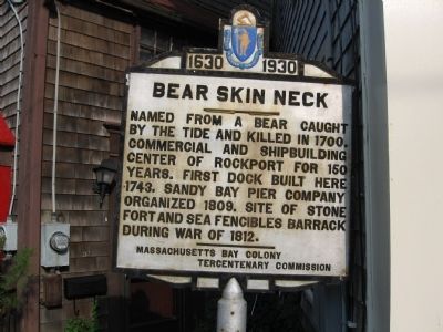
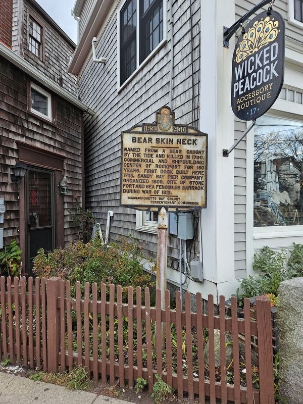
Bear Skin Neck
1630 - 1930
Erected 1930 by Massachusetts Bay Colony-Tercentenary Commission.
Topics and series. This historical marker is listed in these topic lists: Colonial Era • Forts and Castles • Settlements & Settlers. In addition, it is included in the Massachusetts Bay Colony—Tercentenary Commission Markers series list. A significant historical year for this entry is 1700.
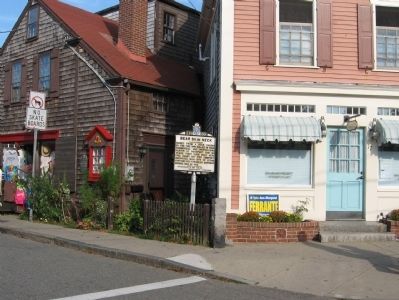
Location. 42° 39.533′ N, 70° 37.007′ W. Marker is in Rockport, Massachusetts, in Essex County. Marker is at the intersection of Mt. Pleasant Street (Massachusetts Route 127A) and Main Street, on the right when traveling north on Mt. Pleasant Street. Located at the edge of Dock Square, at the junction of Main Street and Mount Pleasant Street. Touch for map. Marker is in this post office area: Rockport MA 01966, United States of America. Touch for directions.
Other nearby markers. At least 8 other markers are within walking distance of this marker. Rockport World War I & II Memorial (about 400 feet away, measured in a direct line); Harvey Park (about 500 feet away); Cannon from the U.S.S. Constitution (about 600 feet away); First Congregational Church of Rockport Steeple Rehabilitation (about 600 feet away); Town Wharves (about 600 feet away); The First Settlers of Sandy Bay (about 600 feet away); Old Stone Fort (approx. 0.2 miles away); Straitsmouth Island (approx. 0.2 miles away). Touch for a list and map of all markers in Rockport.
Regarding Bear Skin Neck. Bear Skin Neck, which forms a peninsula jutting out into Rockport Harbor, was once known primarily as an artists’ colony, but now is populated with shops and restaurants that are a magnet for tourists. It offers spectacular views of the harbor and of Sandy Bay.
Also see . . . Original 1930 publication by the Commonwealth of Massachusetts of Tercentenary Commission Markers. Original 1930 publication by the Commonwealth of Massachusetts of Tercentenary Commission Markers, commemorating the three hundredth anniversary of the Massachusetts Bay Colony. (Submitted on May 21, 2011, by Russell Chaffee Bixby of Bernardston, Massachusetts.)
Credits. This page was last revised on January 12, 2024. It was originally submitted on September 29, 2010, by Michael Herrick of Southbury, Connecticut. This page has been viewed 1,136 times since then and 28 times this year. Last updated on October 9, 2011, by Michael Tiernan of Danvers, Massachusetts. Photos: 1, 2. submitted on September 29, 2010, by Michael Herrick of Southbury, Connecticut. 3. submitted on January 1, 2024, by Terry Ashmore of Gardner, Massachusetts.


