Near Richmond in Madison County, Kentucky — The American South (East South Central)
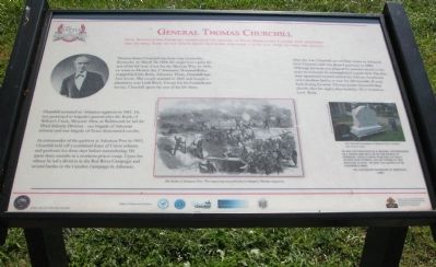
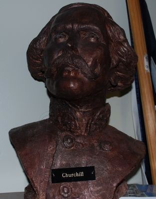
General Thomas Churchill
Gen. Thomas James Churchill commanded the brigade of Texas dismounted cavalry that delivered the crushing blow to the Union right. Churchill had come a long way home to lead the assault. ***
Thomas James Churchill was born near Louisville, Kentucky, on March 24, 1824. He might have spent the rest of his life here if not for the Mexican War. In 1846, en route to Mexico, the 1st Kentucky Mounted Rifles stopped in Little Rock, Arkansas. There, Churchill met Ann Sevier. The couple married in 1849 and bought a plantation near Little Rock. Except for his Confederate service, Churchill spent the rest of his life there. ***
Churchill recruited an Arkansas regiment in 1861. He was promoted to brigadier general after the Battle of Wilson's Creek, Missouri. Here, at Richmond, he led the Third Infantry Division - one brigade of Arkansas infantry and one brigade of Texas dismounted cavalry.
As commander of the garrison at Arkansas Post in 1863, Churchill held off a combined force of Union infantry and gunboats for three days before surrendering. He spent three months in a northern prison camp. Upon his release he led a division in the Red River Campaign and several battles in the Camden Campaign in Arkansas. ***
After the war, Churchill served three terms as Arkansas State Treasurer and was elected governor in 1880. Although his term was plagued by scandal related to his years as treasurer, he accomplished a great deal. The first state-sponsored normal school for African Americans and a modern facility to care for the mentally ill were built during his term. Thomas James Churchill died shortly after his eighty-first birthday. He is buried in Little Rock.
Topics. This historical marker is listed in this topic list: War, US Civil. A significant historical month for this entry is March 1797.
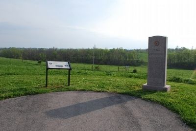
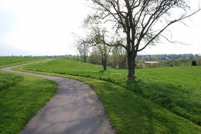
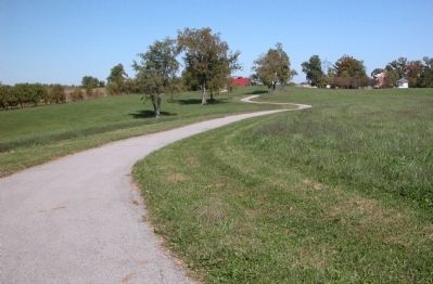
Location. 37° 39.799′ N, 84° 15.086′ W. Marker is near Richmond, Kentucky, in Madison County. Marker can be reached from Battlefield Memorial Highway (U.S. 421), on the left when traveling north. The marker is on the grounds of Battlefield Park. This is the site of the "Pleasant View" house. From the restroom building, take the walking trail northward for about .1 mile. Then, take the trail that leads off to the left at that point. The marker is at the end of this trail, about .2 mile distant. It's right next to the Texas State Memorial. Touch for map. Marker is at or near this postal address: 101 Battlefield Memorial Highway, Richmond KY 40475, United States of America. Touch for directions.
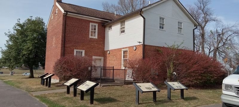
Other nearby markers. At least 8 other markers are within walking distance of this marker. Battle of Richmond (about 300 feet away, measured in a direct line); a different marker also named The Battle of Richmond (about 300 feet away); Slavery at Pleasant View Farm
(about 300 feet away); In Honor and Remembrance (about 400 feet away); "Good, Common-Sense Soldiering" (about 500 feet away); The Union Trail (about 600 feet away); Churchill's Draw (about 800 feet away); Sharpshooters Check The Union Right (about 800 feet away). Touch for a list and map of all markers in Richmond.
Additional commentary.
1.
This marker is a part of the Civil War Discovery Trail series.
— Submitted October 11, 2011, by Karl Stelly of Gettysburg, Pennsylvania.
Credits. This page was last revised on December 2, 2022. It was originally submitted on October 11, 2011, by Karl Stelly of Gettysburg, Pennsylvania. This page has been viewed 1,089 times since then and 44 times this year. Photos: 1. submitted on October 11, 2011, by Karl Stelly of Gettysburg, Pennsylvania. 2. submitted on November 15, 2022, by Craig Doda of Napoleon, Ohio. 3, 4, 5. submitted on July 27, 2015, by Brandon Fletcher of Chattanooga, Tennessee. 6. submitted on October 11, 2011, by Karl Stelly of Gettysburg, Pennsylvania. • Craig Swain was the editor who published this page.
