New London in New London County, Connecticut — The American Northeast (New England)
The Amistad Incident
Galvanizing Abolitionists
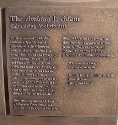
In the summer of 1839, the Amistad, a Spanish coastal schooner with 39 kidnapped Africans aboard, was found in Long Island Sound and brought to New London. The captives, who had been sold into slavery in Cuba, had taken over the ship and were attempting to sail back to Africa. Following a hearing onboard the Amistad while she lay anchored off Fort Trumbull, the 39 Africans were transported by ship to New Haven for trial on charges of mutiny and murder.
After many appeals, in 1841 the US Supreme Court determined that the Amistad captives had been illegally kidnapped and were due their freedom. Creating an intense legal, political, and widespread debate, the Amistad incident galvanized the abolitionist movement.
Topics. This historical marker is listed in these topic lists: Abolition & Underground RR • African Americans • Industry & Commerce • Waterways & Vessels. A significant historical year for this entry is 1839.
Location. 41° 21.26′ N, 72° 5.652′ W. Marker is in New London, Connecticut, in New London County. Marker is at the intersection of State Street, on the right when traveling west on State Street. Touch for map. Marker is at or near this postal address: Bank Street, New London CT 06320, United States of America. Touch for directions.
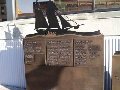
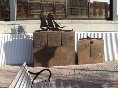
Other nearby markers. At least 8 other markers are within walking distance of this marker. The Atlantic Trade (here, next to this marker); The Roots of the US Coast Guard (here, next to this marker); Native Americans (here, next to this marker); The Submarine Industry (here, next to this marker); The 19th Century Port (here, next to this marker); 54 State Street (a few steps from this marker); Revolutionary New London (within shouting distance of this marker); Revolutionary War Privateering (within shouting distance of this marker). Touch for a list and map of all markers in New London.
Additional keywords. The Amistad Incident
Credits. This page was last revised on May 6, 2023. It was originally submitted on October 14, 2011, by Bill Coughlin of Woodland Park, New Jersey. This page has been viewed 606 times since then and 10 times this year. Photos: 1, 2, 3, 4. submitted on October 14, 2011, by Bill Coughlin of Woodland Park, New Jersey.


