Mobeetie in Wheeler County, Texas — The American South (West South Central)
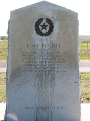
Site of Fort Elliott
Erected 1936 by State of Texas. (Marker Number 1981.)
Topics and series. This historical marker is listed in this topic list: Forts and Castles. In addition, it is included in the Texas 1936 Centennial Markers and Monuments series list. A significant historical date for this entry is June 5, 1836.
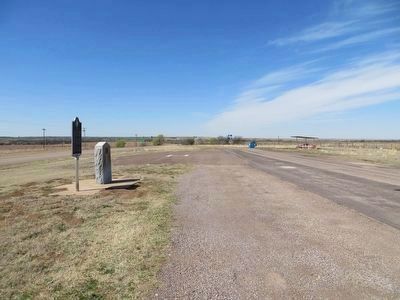
Location. 35° 31.063′ N, 100° 27.414′ W. Marker is in Mobeetie, Texas, in Wheeler County. Marker is at the intersection of West Oklahoma Avenue (State Highway 152) and County Road 4, on the right when traveling west on West Oklahoma Avenue. Touch for map. Marker is in this post office area: Mobeetie TX 79061, United States of America. Touch for directions.
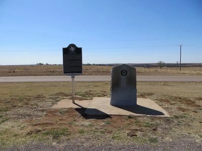
Other nearby markers. At least 8 other markers are within walking distance of this marker. Buffalo Soldiers at Fort Elliott (here, next to this marker); Quanah Parker Trail (within shouting distance of this marker); Mobeetie (approx. 0.9 miles away); Emanuel Dubbs (approx. one mile away); Captain G. W. Arrington (approx. one mile away); Fort Elliot Flagpole (approx. one mile away); Frank Willis, Sr. (approx. one mile away); Temple Lea Houston (approx. one mile away). Touch for a list and map of all markers in Mobeetie.
Also see . . . Fort Elliott. Texas State Historical Association (Submitted on October 19, 2011, by Bernard Fisher of Richmond, Virginia.)
Credits. This page was last revised on November 21, 2021. It was originally submitted on October 16, 2011, by Timothy McDaniel of Lewisville, Texas. This page has been viewed 1,097 times since then and 69 times this year. Photos: 1. submitted on October 16, 2011, by Timothy McDaniel of Lewisville, Texas. 2, 3. submitted on April 9, 2016, by Bill Kirchner of Tucson, Arizona. • Bernard Fisher was the editor who published this page.


