Fort Trumbull in New London in New London County, Connecticut — The American Northeast (New England)
Scientific Research
World War II
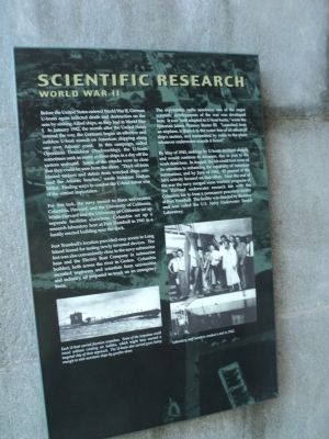
Before the United States entered World War II, German U-boats again inflicted death and destruction on the seas by sinking Allied ships as they had in World War I. In January 1942, the month after the United States entered the war, the Germans began an effective and ruthless U-boat assault on American shipping along our own Atlantic coast. In this campaign, called Operation Drumbeat (Paukenschlag), the U-boats sometimes sank as many as three ships in a day off the eastern seaboard. Some of the attacks were so close that they could be seen from the shore. “Thick oil from blasted tankers and debris from wrecked ships covered the Atlantic beaches.” wrote historian Nathan Miller. Finding ways to combat the U-boat threat was of the utmost importance.
For this task, the navy turned to three universities: Columbia, Harvard, and the University of California. While Harvard and the University of California set up separate facilities elsewhere, Columbia set up a research laboratory here at Fort Trumbull in 1941 in a hastily erected building near the dock.
Fort Trumbull’s location provided easy access to Long Island Sound for testing newly invented devices. The fort was also conveniently close to the navy submarine base and the Electric Boat Company (a submarine builder), both across the river in Groton. Columbia recruited engineers and scientists from universities and industry, all prepared to work on an emergency basis.
The expendable radio sono-buoy, one of the major scientific developments of the war, was developed here. It was “well adapted to U-boat hunts,” wrote the historian James Phinney Baxter. “Lauched from an airplane, it floated in the water free of all effects of ship’s motion, and transmitted by radio to the plane whatever underwater sounds it heard.”
By May of 1943, sinkings by U-boats declined sharply and would continue to decrease due in part to the work done here. In August, the lab would turn some of its attention to enhancing the capability of American submarines, and by June of 1944, 85 percent of the lab’s activity focused on that effort. Near the end of the war the navy merged some wartime programs of the Harvard underwater research lab with the Columbia lab to form a permanent peacetime facility at Fort Trumbull. The facility was directed by the navy and was called the U.S. Navy Underwater Sound Laboratory.
Erected by Fort Trumbull State Park.
Topics. This historical marker is listed in these topic lists: Science & Medicine • War, World II. A significant historical month for this entry is January 1942.
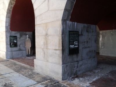
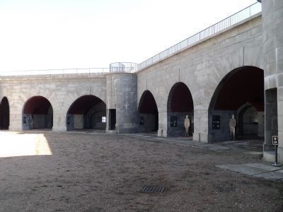
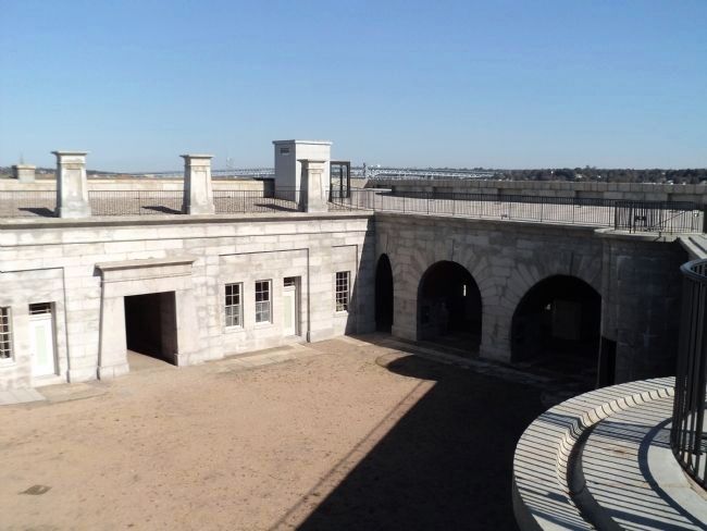
Location. 41° 20.625′ N, 72° 5.593′ W. Marker is in New London, Connecticut, in New London County. It is in Fort Trumbull. Marker can be reached from East Street, on the left when traveling south. Marker is located inside the fort at Fort Trumbull State Park. Touch for map. Marker is in this post office area: New London CT 06320, United States of America. Touch for directions.
Other nearby markers. At least 8 other markers are within walking distance of this marker. Merchant Marine (here, next to this marker); Cold War (here, next to this marker); a different marker also named Scientific Research (a few steps from this marker); “Aim, Load, Fire” (a few steps from this marker); Post Civil War to 1910 (a few steps from this marker); Coast Guard (a few steps from this marker); Civil War (within shouting distance of this marker); Bottom Reflected Active Sonar System (BRASS) (within shouting distance of this marker). Touch for a list and map of all markers in New London.
More about this marker. Two photographs appear at the bottom of the marker. On the left there is a picture of a German U-boat with the caption “Each U-boat contained fourteen torpedoes. Some of the torpedoes could travel without creating air bubbles, which might have warned a targeted ship of their approach. The U-boats also contained guns heavy enough to sink merchant ships by gunfire alone.” On the right is a 1942 photo of laboratory staff members.
Also see . . . History of Fort Trumbull
. Friends of Fort Trumbull. (Submitted on October 16, 2011, by Bill Coughlin of Woodland Park, New Jersey.)
Credits. This page was last revised on February 10, 2023. It was originally submitted on October 16, 2011, by Bill Coughlin of Woodland Park, New Jersey. This page has been viewed 500 times since then and 7 times this year. Photos: 1, 2, 3, 4. submitted on October 16, 2011, by Bill Coughlin of Woodland Park, New Jersey.


