Benson in Cochise County, Arizona — The American Mountains (Southwest)
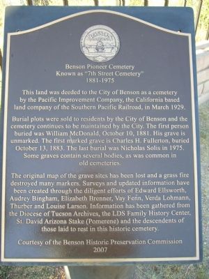
Benson Pioneer Cemetery
Known as "7th Street Cemetery"
— 1881-1975 —
Burial plots were sold to residents by the City of Benson and the cemetery continues to be maintained by the City. The first person buried was William McDonald, October 10, 1881. His grave is unmarked. The first marked grave is Charles H. Fullerton, buried October 13, 1883. The last burial was Nicholas Solis in 1975. Some graves contain several bodies, as was common in old cemeteries.
The original map of the grave sites has been lost and a grass fire destroyed many markers. Surveys and updated information have been created through the diligent efforts of Edward Ellsworth, Audrey Bingham, Elizabeth Brenner, Vay Fenn, Verda Lohmann, Thurber and Louise Larson. Information has been gathered from the Diocese of Tucson Archives, the LDS Family History Center, St. David Arizona Stake (Pomerene) and the descendents of those laid to rest in this historic cemetery.
Erected 2007 by Benson Historic Preservation Commission.
Topics. This historical marker is listed in this topic list: Cemeteries & Burial Sites. A significant historical month for this entry is March 1929.
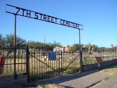
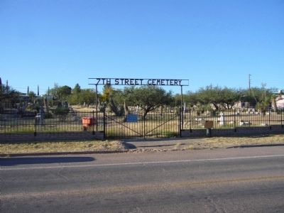
Location. 31° 57.859′ N, 110° 17.615′ W. Marker is in Benson, Arizona, in Cochise County. Marker is at the intersection of East 7th Street and South Gila Street, on the right when traveling east on East 7th Street. Touch for map. Marker is in this post office area: Benson AZ 85602, United States of America. Touch for directions.
Other nearby markers. At least 3 other markers are within 6 miles of this marker, measured as the crow flies. Benson Jail (approx. 0.2 miles away); Mormon Battalion (approx. 0.8 miles away); a different marker also named Mormon Battalion (approx. 5.8 miles away).
Credits. This page was last revised on June 16, 2016. It was originally submitted on October 19, 2011, by Bill Kirchner of Tucson, Arizona. This page has been viewed 1,128 times since then and 45 times this year. Photos: 1, 2, 3. submitted on October 19, 2011, by Bill Kirchner of Tucson, Arizona. • Syd Whittle was the editor who published this page.


