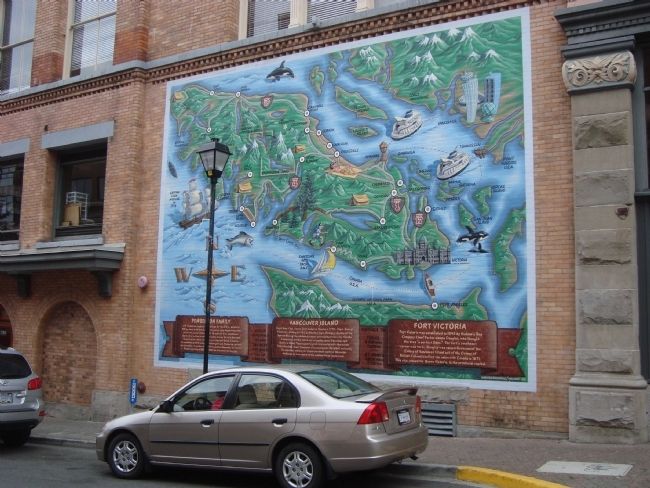
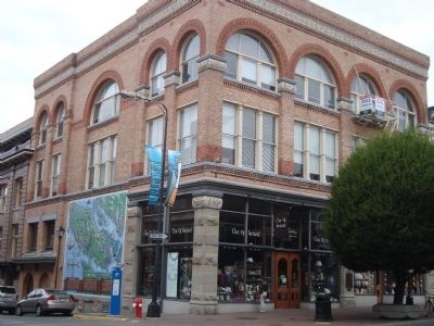
Vancouver Island Wallmap Mural
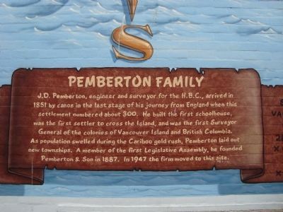
Pemberton Family
J.D. Pemberton, engineer and surveyor for the H.B.C., arrived in 1851 by canoe in the last stages of his journey from England when this settlement numbered about 300. He built the first schoolhouse, was the first settler to cross the Island, and was the first Surveyor General of the colonies of Vancouver Island and British Columbia. As population swelled during the Cariboo gold rush, Pemberton laid out new townships. A member of the first Legislative Assembly, he founded Pemberton & Son in 1887. In 1947 the firm move to this site.
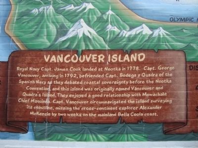
Vancouver Island
Royal Navy Capt. James Cook landed at Nootka in 1778. Capt. George Vancouver, arriving in 1792, befriended Capt. Bodega y Quadra of the Spanish Navy as the debated coastal sovereignty before the Nootka Convention, and this island was originally named Vancouver and Quadra’s Island. They enjoyed a good relationship with Mowachaht Chief Maquinna. Capt. Vancouver circumnavigated the island surveying its coastline, missing the cross-continent explorer Alexander McKenzie by two weeks on the mainland Bella Coola coast.
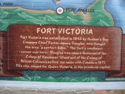
Fort Victoria
Fort Victoria was established in 1843 by Hudson’s Bay Company Chief Factor James Douglas who
Topics. This historical marker is listed in these topic lists: Exploration • Forts and Castles • Settlements & Settlers. A significant historical year for this entry is 1851.
Location. 48° 25.459′ N, 123° 22.09′ W. Marker is in Victoria, British Columbia, in Capital. It is in Downtown. Marker is at the intersection of Broughton Street and Government Street on Broughton Street. Touch for map. Marker is at or near this postal address: 536 Broughton Street, Victoria BC V8W 1X7, Canada. Touch for directions.
Other nearby markers. At least 8 other markers are within walking distance of this marker. Fort Victoria (a few steps from this marker); Windsor Hotel (within shouting distance of this marker); Customs House (about 90 meters away, measured in a direct line); Old Victoria Custom House (about 120 meters away); First British Columbia School (about 120 meters away); a different marker also named Fort Victoria (about 120 meters away); The 75th Anniversary of the Canadian Navy (about 120 meters away); a different marker also named Fort Victoria (about 150 meters away). Touch for a list and map of all markers in Victoria.
Credits. This page was last revised on February 16, 2023. It was originally submitted on October 20, 2011, by Barry Swackhamer of Brentwood, California. This page has been viewed 727 times since then and 10 times this year. Photos: 1, 2, 3, 4, 5. submitted on October 20, 2011, by Barry Swackhamer of Brentwood, California. • Bill Pfingsten was the editor who published this page.
