Near Bisbee in Cochise County, Arizona — The American Mountains (Southwest)
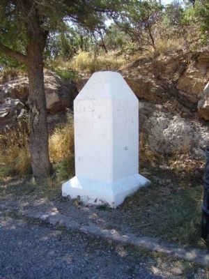
Mule Pass
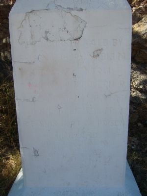
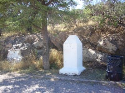
Front of obelisk
Prison Labor 1913-14
Board of Control
Geo. W.P. Hunt Governor
C. Callaghan Auditor
U.R. Osburn Member
R.E. Sims Supt of Prison
Lamar Orb
State Engineer
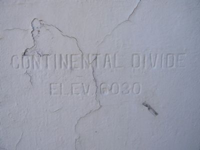
Elev. 6030
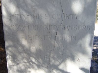
Board of Supervisors
A. Hickey Chrmn
WM. Riggs
J. Rock
Topics. This historical marker is listed in this topic list: Roads & Vehicles.
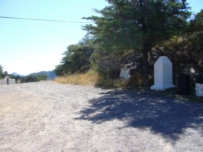
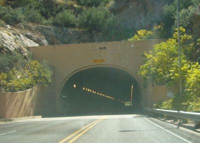
Location. 31° 27.515′ N, 109° 56.584′ W. Marker is near Bisbee, Arizona, in Cochise County. Marker is on North Old Divide Road, half a mile east of Arizona Route 80, on the right when traveling east. Marker is at the top of the pass, over the tunnel, and not in the tunnel. Old Divide Road is closed east of Mule Pass. Touch for map. Marker is in this post office area: Bisbee AZ 85603, United States of America. Touch for directions.
Other nearby markers. At least 8 other markers are within 5 miles of this marker, measured as the crow flies. Copper Queen Plaza (approx. 2 miles away); Phelps Dodge General Office Building (approx. 2.1 miles away); Brewery Gulch (approx. 2.1 miles away); Bisbee City Fire Hall (approx. 2.1 miles away); The Importance Of Copper Mining (approx. 2.2 miles away); The Lavender Pit (approx. 3 miles away); City of Bisbee Warrior Memorial (approx. 3.7 miles away); Walter Douglas House (approx. 4.7 miles away). Touch for a list and map of all markers in Bisbee.
Regarding Mule Pass. From the discovery of ore until 1958, the only way into Bisbee from the west was going up and over the Mule Mountains by way of Mule Pass. It was rough, rock-strewn and treacherous. The Mule Pass Tunnel built in 1958 gives an easy way in to Bisbee.
Credits. This page was last revised on June 16, 2016. It was originally submitted on October 20, 2011, by Bill Kirchner of Tucson, Arizona. This page has been viewed 1,489 times since then and 75 times this year. Photos: 1, 2, 3, 4, 5, 6, 7. submitted on October 20, 2011, by Bill Kirchner of Tucson, Arizona. • Syd Whittle was the editor who published this page.
