Niagara-on-the-Lake in Niagara Region, Ontario — Central Canada (North America)
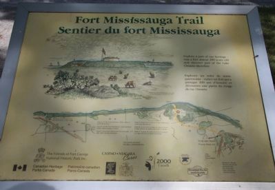
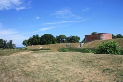
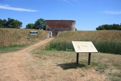
Fort Mississauga Trail
Sentier du fort Mississauga
Explorez un volet de notre patrimoine - visitez un fort qui a presque 200 ans d'histoire et decouvrez une partie du rivage du lac Ontario.
Erected by Canadian Heritage Parks Canada.
Topics. This historical marker is listed in these topic lists: Colonial Era • Forts and Castles • War of 1812.
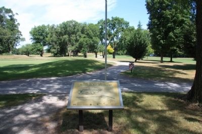
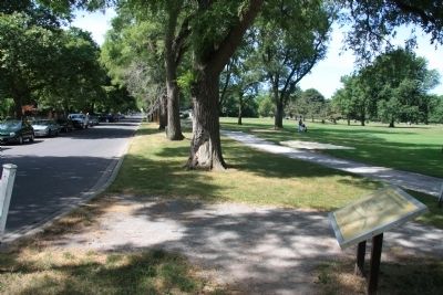
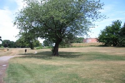
Location. 43° 15.61′ N, 79° 4.502′ W. Marker is in Niagara-on-the-Lake, Ontario, in Niagara Region. Marker is at the intersection of Simcoe Street and Front Street, on the left when traveling east on Simcoe Street. This historical marker is located on the Canadian side of the mouth of the Niagara River, where the river empties into Lake Ontario. It is situated on the northeastern edge of the Niagara-on-the-Lake Golf Course, at the beginning of a footpath that leads to the site of Fort Mississauga. Touch for map. Marker is in this post office area: Niagara-on-the-Lake ON L0S 1J0, Canada. Touch for directions.
Other nearby markers. At least 8 other markers are within walking distance of this marker. A Fort Evolves (about 180 meters away, measured in a direct line); A Strategic Location (about 210 meters away); Fort Mississauga (about 240 meters away); Fort Mississauga is a National Historic Site (about 240 meters away); Point Mississauga Lighthouse (about 240 meters away); Niagara on the Lake Historical District (approx. 0.6 kilometers away); Niagara District Court House / Le palais de justice du district de Niagara (approx. 0.6 kilometers away); William Kirby (approx. 0.6 kilometers away). Touch for a list and map of all markers in Niagara-on-the-Lake.
Credits. This page was last revised on September 27, 2019. It was originally submitted on October 22, 2011, by Dale K. Benington of Toledo, Ohio. This page has been viewed 605 times since then and 6 times this year. Photos: 1, 2, 3, 4, 5, 6. submitted on October 25, 2011, by Dale K. Benington of Toledo, Ohio.
