Camden in Kershaw County, South Carolina — The American South (South Atlantic)
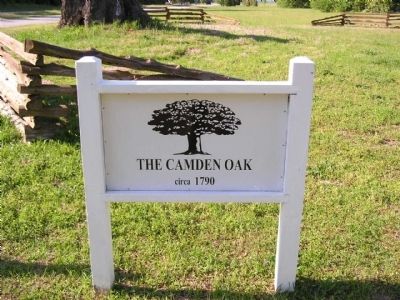
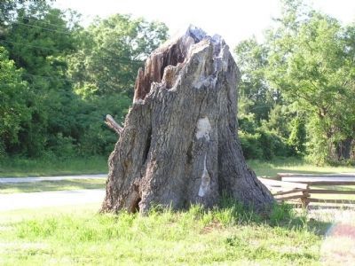
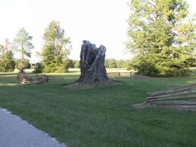
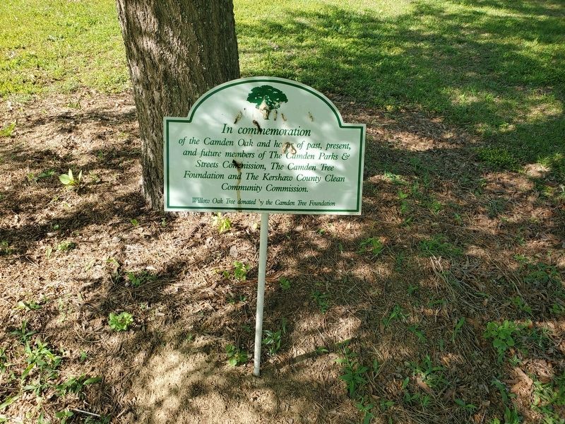
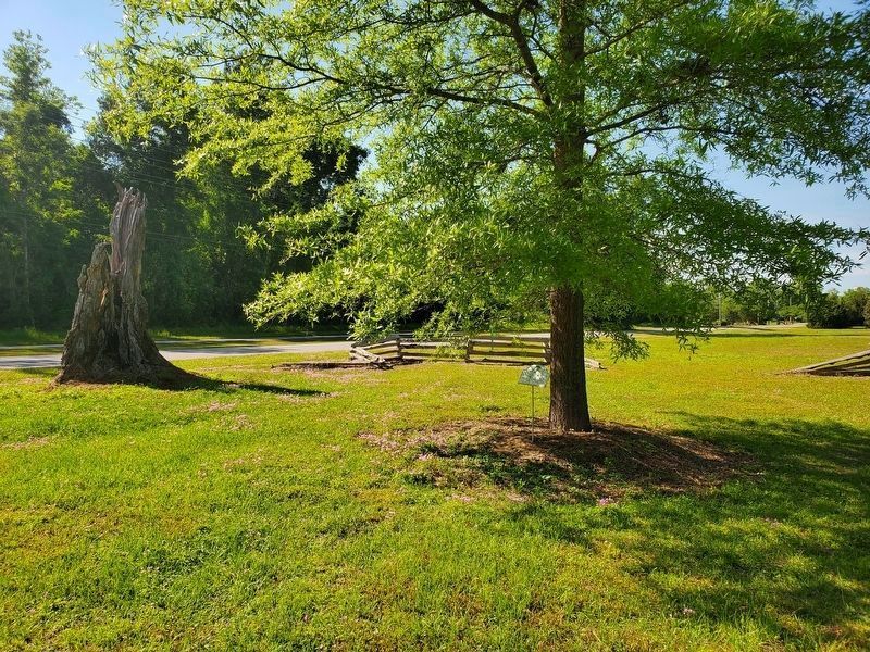
The Camden Oak
circa 1790
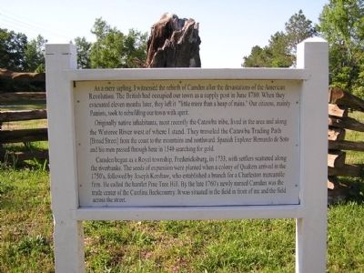
Originally native inhabitants, most recently the Catawba tribe, lived in the area and along the Wateree River west of where I stand. They traveled the Catawba Trading Path [Broad Street] from the coast to the mountains and northward. Spanish Explorer Hernando de Soto and his men passed through here in 1540 searching for gold.
Camden began as a Royal township, Fredericksburg, in 1733, with settlers scattered along the riverbanks. The seeds of expansion were planted when a colony of Quakers arrived in the 1750’s, followed by Joseph Kershaw, who established a branch for a Charleston mercantile firm. He called the hamlet Pine Tree Hill. By the late 1760’s newly named Camden was the trade center of the Carolina Backcountry. It was situated in the field in front of me and the field across the street.
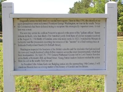
Diagonally across the field from me was the town square. There in May 1791, the citizens of our again prosperous town welcomed President George Washington, on tour in the south. Twice his Continentals had been defeated trying to recapture this strategically important town. A visit here was a must.
The next day astride his stallion Prescott he paused at the grave of his “gallant officer,” Baron Johann de Kalb, who died a few hundred yards from here of eleven wounds received at the August 16, 1780 Battle of Camden, some nine miles north. In 1825, I watched the Marquis de Lafayette lead the procession escorting the remains of his “mentor” to a final resting place at Bethesda Presbyterian Church [On DeKalb Street].
Washington inspected the locations of the British redoubts and the stockades that had enclosed the town and Joseph Kershaw’s white hilltop mansion across the street [reconstructed], which had been headquarters. On April 25, 1781 General Nathanael Greene lost to Lord Francis Rawdon at the Battle of Hobkirk’s Hill, up Broad Street. Young Patriot Andrew Jackson watched the action from his cell in the nearby Tory-run jail.
As President John Adams leads our fledgling nation into the approaching 19th Century, I will stand and flourish here as a living marker of the history of Camden and its citizens.
Topics and series. This historical marker is listed in this topic list: Landmarks. In addition, it is included in the Former U.S. Presidents: #02 John Adams series list. A significant historical month for this entry is April 1636.
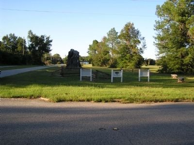
Location. 34° 14.036′ N, 80° 36.474′ W. Marker is in Camden, South Carolina, in Kershaw County. Marker is at the intersection of Meeting Street and Church Street, on the right when traveling west on Meeting Street. Touch for map. Marker is in this post office area: Camden SC 29020, United States of America. Touch for directions.
Other nearby markers. At least 8 other markers are within walking distance of this marker. Revolutionary War Memorial (a few steps from this marker); Maj. Gen. Baron Johann de Kalb's Original Gravesite (within shouting distance of this marker); Presbyterian Meeting House (within shouting distance of this marker); Southwest Redoubt (within shouting distance of this marker); a different marker also named Southwest Redoubt (about 300 feet away, measured in a direct line); Agnes of Glasgow 1760 ~ 1780 (about 300 feet away); West Redoubt (about 600 feet away); a different marker also named West Redoubt (about 600 feet away). Touch for a list and map of all markers in Camden.
Credits. This page was last revised on April 25, 2023. It was originally submitted on October 25, 2011, by Anna Inbody of Columbia, South Carolina. This page has been viewed 945 times since then and 59 times this year. Photos: 1, 2, 3, 4, 5, 6. submitted on October 25, 2011, by Anna Inbody of Columbia, South Carolina. 7, 8. submitted on April 23, 2023, by Yvonne Vaughn of Elgin, South Carolina. • Craig Swain was the editor who published this page.
