Niagara-on-the-Lake in Niagara Region, Ontario — Central Canada (North America)
Fort George
Le Fort George
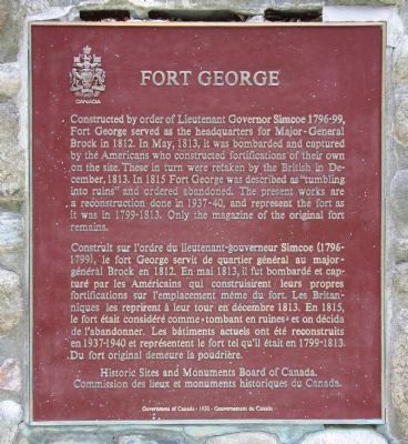
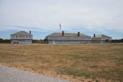
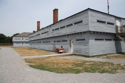
Construit sur l'ordre du lieutenant-gouverneur Simcoe (1796-1799), le fort George servit de quartier général au major-général Brock en 1812. En mai 1813, il fut bombardé et capturé par les Américaines qui construisirent leurs propres fortifications sur l'emplacement même du fort. Les Britanniques les reprirent à leur tour en décembre 1813. En 1815, le fort était considéré comme «tombant en ruines» et on décida de l'abandonner. Les bâtiments actuels ont été reconstruits en 1937-1940 et représentent le fort tel qu'il était en 1799-1813. Du fort original demeure la poudrière.
Erected by Historic Sites and Monuments Board of Canada.
Topics. This historical marker is listed in these topic lists: Colonial Era • Forts and Castles • War of 1812. A significant historical month for this entry is May 1813.
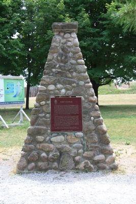
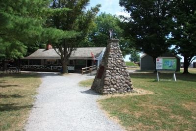
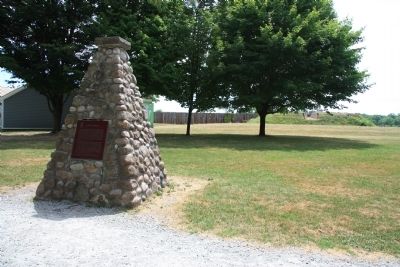
Location. 43° 15.115′ N, 79° 3.788′ W. Marker is in Niagara-on-the-Lake, Ontario, in Niagara Region. Marker can be reached from Queens Parade south of Wellington Street. This historic marker is located on the grounds of a national historic park. On the map this historic marker appears to be near the end of Bryon Street, but in order to see this historic marker one should probably pull into the parking lot of the national park, which is just off of the roadway called the Queens Parade. Once you park your vehicle the historical marker is just a short walk away along the pathway that leads to the fort's visitor center. Touch for map. Marker is in this post office area: Niagara-on-the-Lake ON L0S 1J0, Canada. Touch for directions.
Other nearby markers. At least 8 other markers are within walking distance of this marker. Niagara National Historic Sites (within shouting distance of this marker); Welcome to Fort George (within shouting distance of this marker); The Fortified Mouth of the Niagara River (within shouting distance of this marker); A Strategic Site (within shouting distance of this marker); Fort Niagara (within shouting distance of this marker); The Battle of Fort George (within shouting distance of this marker); a different marker also named A Strategic Site (within shouting distance of this marker); a different marker also named Fort Niagara (within shouting distance of this marker). Touch for a list and map of all markers in Niagara-on-the-Lake.
Related markers. Click here for a list of markers that are related to this marker. To better understand the relationship, study each marker in the order shown.
Also see . . . Fort George, Ontario. This is a link to information provoded by Wikipedia, the free encyclopedia. (Submitted on November 3, 2011, by Dale K. Benington of Toledo, Ohio.)
Credits. This page was last revised on September 27, 2019. It was originally submitted on October 25, 2011, by Dale K. Benington of Toledo, Ohio. This page has been viewed 797 times since then and 14 times this year. Photos: 1, 2, 3, 4, 5, 6, 7. submitted on October 28, 2011, by Dale K. Benington of Toledo, Ohio.
