Niagara-on-the-Lake in Niagara Region, Ontario — Central Canada (North America)
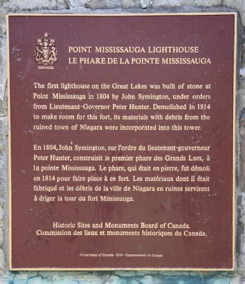
Point Mississauga Lighthouse
Le Phare de Point Mississauga
En 1804, John Symington, sur l'ordre du lieutenant-gouverneur Peter Hunter, construisit le premier phare des Grand lacs à Point Mississauga. Ce phare, qui était en pierre, fut démoli en 1814 pour faire place à ce fort. Les matériaux dont il était fabriqué et les débris de la ville du Niagara en ruines servirent à ériger la tour du fort Mississauga.
Erected by Historic Sites and Monuments Board of Canada.
Topics and series. This historical marker is listed in these topic lists: Colonial Era • Forts and Castles • War of 1812. In addition, it is included in the Lighthouses series list. A significant historical year for this entry is 1804.
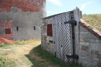
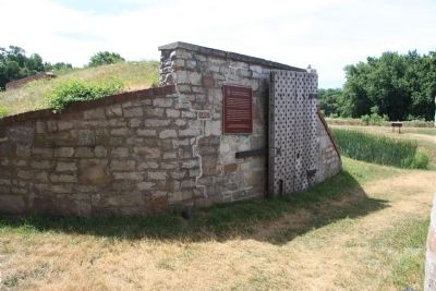
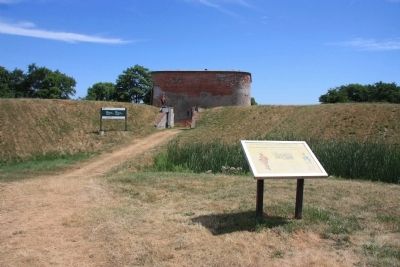
Location. 43° 15.703′ N, 79° 4.621′ W. Marker is in Niagara-on-the-Lake, Ontario, in Niagara Region. Marker is on Queen Street. This historical marker is located on the Canadian side of the mouth of the Niagara River, where the river empties into Lake Ontario. It is situated along the river on the northern edge of the Niagara-on-the-Lake Golf Course, at the end of the Fort Mississauga footpath that leads to the site of Fort Mississauga. This historical marker is affixed to the side wall of the fort's opened main gate. Touch for map. Marker is at or near this postal address: 223 Queen Street, Niagara-on-the-Lake ON L0S 1J0, Canada. Touch for directions.
Other nearby markers. At least 8 other markers are within walking distance of this marker. Fort Mississauga (a few steps from this marker); Fort Mississauga is a National Historic Site (within shouting distance of this marker); A Strategic Location (within shouting distance of this marker); A Fort Evolves (within shouting distance of this marker); Fort Mississauga Trail (about 240 meters away, measured in a direct line); The Remains of Three Soldiers (approx. 0.6 kilometers away); The Battle of Fort George (approx. 0.6 kilometers away); Niagara on the Lake Historical District (approx. 0.8 kilometers away). Touch for a list and map of all markers in Niagara-on-the-Lake.

Photographed By Dale K. Benington, July 27, 2011
3. Point Mississauga Lighthouse Marker
View looking into the fort of the featured historic marker affixed to the south side wall of the fort's front gate entrance (along with a distant view of the "Fort Mississauga" historic marker affixed to the fort's tower).
Credits. This page was last revised on September 27, 2019. It was originally submitted on October 25, 2011, by Dale K. Benington of Toledo, Ohio. This page has been viewed 535 times since then and 7 times this year. Photos: 1, 2, 3, 4. submitted on October 28, 2011, by Dale K. Benington of Toledo, Ohio.


