South of Broad in Charleston in Charleston County, South Carolina — The American South (South Atlantic)
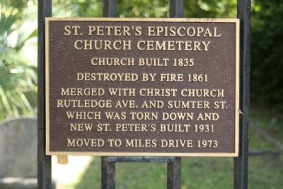
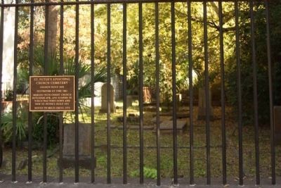
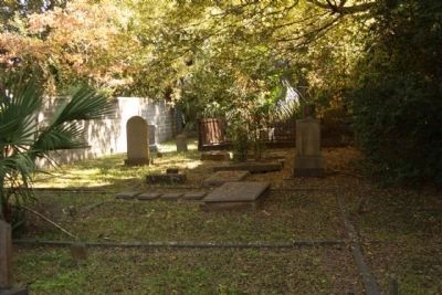
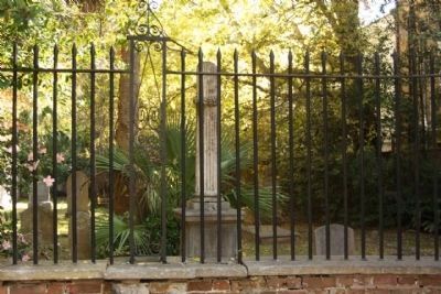
St. Peter's Episcopal Church Cemetery
Destroyed by fire 1861
Merged with Christ Church
Rutledge Ave. and Sumter St.
which was torn down and
new St. Peter's built in 1931
Moved to Miles Drive 1973
Topics. This historical marker is listed in these topic lists: Cemeteries & Burial Sites • Churches & Religion. A significant historical year for this entry is 1835.
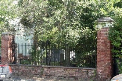
Location. 32° 46.481′ N, 79° 56.136′ W. Marker is in Charleston, South Carolina, in Charleston County. It is in South of Broad. Marker is on Logan Street, on the right when traveling north. Located between Tradd and Broad Streets. Touch for map. Marker is at or near this postal address: 4 Logan Street, Charleston SC 29401, United States of America. Touch for directions.
Other nearby markers. At least 8 other markers are within walking distance of this marker. 126 Tradd Street (within shouting distance of this marker); 125 Tradd Street (about 300 feet away, measured in a direct line); 123 Tradd Street (about 300 feet away); 95 Lenwood Boulevard (about 400 feet away); The Bowles - Legare House (about 400 feet away); 32 Legare Street (about 500 feet away); Moore-Trapman-Wragg House (about 600 feet away); Cathedral of St. John the Baptist (about 700 feet away). Touch for a list and map of all markers in Charleston.
Credits. This page was last revised on February 16, 2023. It was originally submitted on October 27, 2011, by Mike Stroud of Bluffton, South Carolina. This page has been viewed 870 times since then and 40 times this year. Photos: 1. submitted on October 27, 2011, by Mike Stroud of Bluffton, South Carolina. 2. submitted on December 7, 2011, by Mike Stroud of Bluffton, South Carolina. 3. submitted on October 27, 2011, by Mike Stroud of Bluffton, South Carolina. 4, 5. submitted on December 7, 2011, by Mike Stroud of Bluffton, South Carolina.
