Manchester in Clay County, Kentucky — The American South (East South Central)
Gov. Bert T. Combs (1959-1963)/Bert T. Combs (1911 – 1991)
Inscription.
(Front):
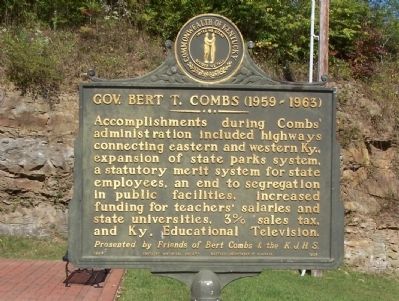
Gov. Bert T. Combs (1959-1963)
Accomplishments during Comb’s administration included highways connecting eastern and western Ky., expansion of state parks system, a statutory merit system for state employees, an end to segregation in public facilities, increased funding for teachers’ salaries and state universities, 3% sales tax, and Ky. Educational Television.
(Back):
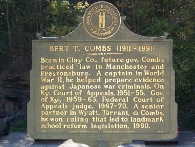
Bert T. Combs (1911 – 1991)
Born in Clay Co., future gov. Combs practiced law in Manchester and Prestonbrug. A captain in World War II, he helped prepare evidence against Japanese war criminals. On Ky. Court of Appeals, 1951-55. Gov. of Ky., 1959-63. Federal Court of Appeals judge, 1967-70. A senior partner in Wyatt, Tarrant & Combs, he won a ruling that led to landmark school reform legislation, 1990.
Erected 1964 by Presented by Friends of Bert Combs and the K. J. H. S./Kentucky Historical Society and Kentucky Department of Highways. (Marker Number 1929.)
Topics and series. This historical marker is listed in these topic lists: Civil Rights • Education • Parks & Recreational Areas • War, World II. In addition, it is included in the Kentucky Historical Society series list. A significant historical year for this entry is 1990.
Location. 37° 9.231′ N, 83° 45.776′ W. Marker is in Manchester, Kentucky, in Clay County. Marker is on Town Branch Road, on the right when traveling west. Located in a small park behind the Clay County Courthouse. Touch for map. Marker is in this post office area: Manchester KY 40962, United States of America. Touch for directions.
Other nearby markers. At least 8 other markers are within 11 miles of this marker, measured as the crow flies. County Named, 1806 (within shouting distance of this marker); Salt Works was located along the old Warrior's Path (approx. half a mile away); This Site is Birth Place of Local History (approx. half a mile away); Goose Creek Salt Works (approx. 2.2 miles away); A Masterful Retreat (approx. 2.3 miles away); Chief Red Bird (approx. 10 miles away); John Gilbert, Sr. Memorial Highway (approx. 10 miles away); Oneida Baptist Institute (approx. 10.1 miles away). Touch for a list and map of all markers in Manchester.
Credits. This page was last revised on November 19, 2019. It was originally submitted on November 5, 2011, by David J Gaines of Pinson, Alabama. This page has been viewed 508 times since then and 21 times this year. Photos: 1, 2. submitted on November 5, 2011, by David J Gaines of Pinson, Alabama. • Craig Swain was the editor who published this page.

