Goodnight in Armstrong County, Texas — The American South (West South Central)
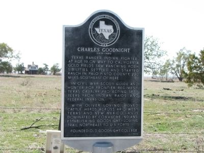
Charles Goodnight
(1836 - 1929)
Texas Ranger, Indian fighter. At age 19, on way to California gold fields, saw ranching possibilities. Settled and started ranch in Palo Pinto county, 230 miles southeast of here.
In Civil War, scout, guide and hunter for frontier regiment, Texas Cavalry, protecting settlers from Indian raids and Federal invasion.
With Oliver Loving, moved herds across arid west Texas and New Mexico lands dominated by Comanche Indians, establishing Goodnight-Loving trail northeast to U.S. forts
Founded old Goodnight College.
Erected 1964 by State Historical Survey Committee. (Marker Number 813.)
Topics. This historical marker is listed in these topic lists: Settlements & Settlers • War, US Civil.
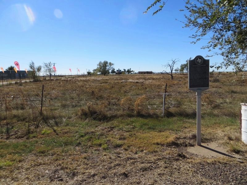
Location. 35° 2.02′ N, 101° 10.974′ W. Marker is in Goodnight, Texas, in Armstrong County. Marker is at the intersection of U.S. 287 and County Road 25, on the right when traveling east on U.S. 287. Touch for map. Marker is in this post office area: Clarendon TX 79226, United States of America. Touch for directions.
Other nearby markers. At least 8 other markers are within 12 miles of this marker, measured as the crow flies. Quanah Parker Trail (approx. 0.2 miles away); Site of Old Goodnight Ranch (approx. 0.2 miles away); Town of Goodnight (approx. 0.3 miles away); Armstrong County (approx. 11.3 miles away); Dr. and Mrs. Wm. A. Warner (approx. 11.3 miles away); Route of Coronado Expedition (approx. 11.3 miles away); Town of Claude (approx. 11.3 miles away); Boy Scout Troop No. 17 (approx. 11.3 miles away). Touch for a list and map of all markers in Goodnight.
Also see . . . Goodnight, Charles. Texas State Historical Association (Submitted on November 11, 2011, by Bernard Fisher of Richmond, Virginia.)
Photographed By Timothy McDaniel, November 5, 2011
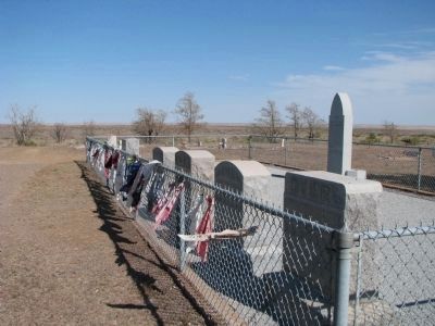
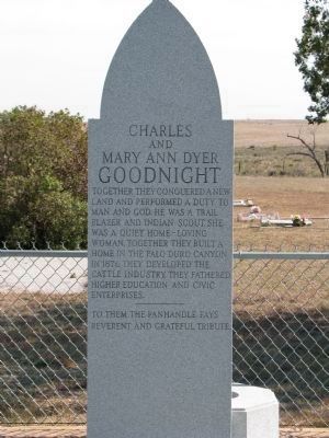
5. Charles and Mary Ann Dyer Goodnight Memorial
Charles and Mary Ann Dyer Goodnight. Together they conquered a new land and performed a duty to man and God. He was a trail blazer and Indian scout. She was a quiet home-loving woman. Together they built a home in the Palo Duro canyon in 1876. They developed the cattle industry and fathered higher education and enterprises. To them the panhandle pays reverent and grateful tribute.
Credits. This page was last revised on October 25, 2020. It was originally submitted on November 8, 2011, by Timothy McDaniel of Lewisville, Texas. This page has been viewed 3,808 times since then and 214 times this year. Photos: 1. submitted on November 8, 2011, by Timothy McDaniel of Lewisville, Texas. 2. submitted on December 14, 2016, by Bill Kirchner of Tucson, Arizona. 3, 4, 5. submitted on November 8, 2011, by Timothy McDaniel of Lewisville, Texas. • Bernard Fisher was the editor who published this page.
