The National Mall in Northwest Washington in Washington, District of Columbia — The American Northeast (Mid-Atlantic)
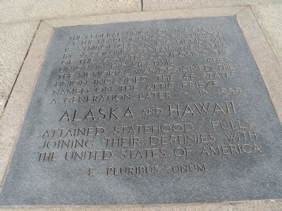
Alaska and Hawaii
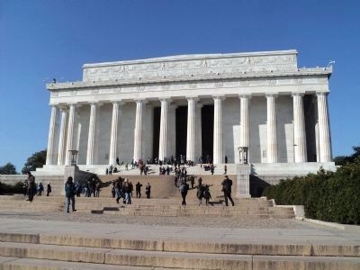
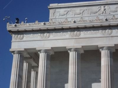
The Federal Union of the States at the heart of Lincolnís purpose is symbolized in his memorial by 36 columns beneath the names of the 36 states composing the Union in his lifetime. When the memorial was designed, the Union included 48 states named on the attic frieze.
A generation later — in 1959
Topics. This historical marker is listed in this topic list: Patriots & Patriotism. A significant historical year for this entry is 1959.
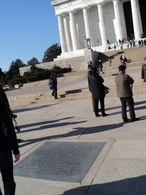
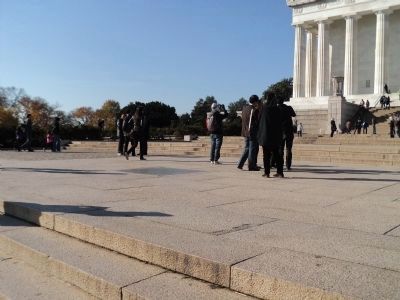
Location. 38° 53.378′ N, 77° 3.05′ W. Marker is in Northwest Washington in Washington, District of Columbia. It is in The National Mall. Marker can be reached from Lincoln Memorial Circle Northwest north of Parkway Drive Northwest, on the left when traveling north. Marker is located at the western end of the National Mall, in the pavement in front of the Lincoln Memorial. Touch for map. Marker is at or near this postal address: 2 Lincoln Memorial Circle Northwest, Washington DC 20037, United States of America. Touch for directions.
Other nearby markers. At least 8 other markers are within walking distance of this marker. Lincoln Memorial (about 300 feet away, measured in a direct line); Vietnam Veterans Memorial (about 800 feet away); The Cost of Freedom (approx. 0.2 miles away); A National Memorial (approx. 0.2 miles away); Half a World Away (approx. 0.2 miles away); John Ericsson Memorial (approx. 0.2 miles away); John Ericsson (approx. 0.2 miles away); Pharmacists' War Memorial (approx. 0.2 miles away). Touch for a list and map of all markers in Northwest Washington.
Credits. This page was last revised on January 30, 2023. It was originally submitted on November 12, 2011, by Bill Coughlin of Woodland Park, New Jersey. This page has been viewed 734 times since then and 45 times this year. Photos: 1, 2, 3, 4, 5. submitted on November 12, 2011, by Bill Coughlin of Woodland Park, New Jersey.
