Near Davisboro in Washington County, Georgia — The American South (South Atlantic)
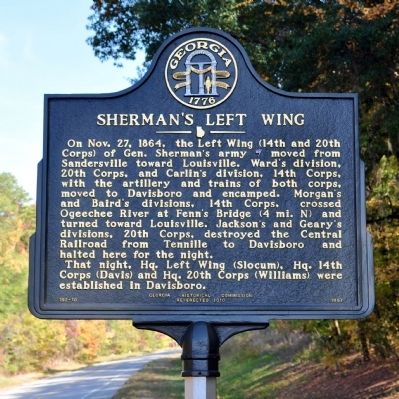
Sherman's Left Wing
That night, Hq. Left Wing (Slocum), Hq. 14th Corps (Davis) and Hq. 20th Corps (Williams) were established in Davisboro.
Erected 2010 by Georga Historical Society. (Marker Number 150-16.)
Topics and series. This historical marker is listed in this topic list: War, US Civil. In addition, it is included in the Georgia Historical Society, and the Sherman’s March to the Sea series lists. A significant historical month for this entry is October 1783.
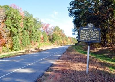
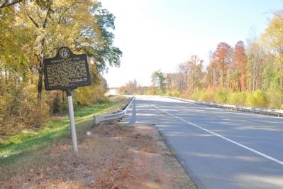
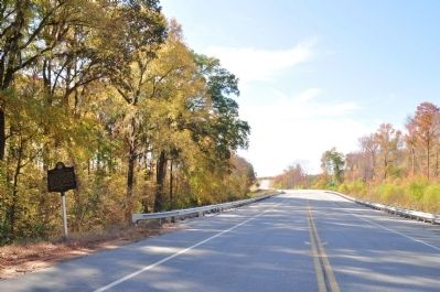
Location. 32° 59.467′ N, 82° 37.517′ W. Marker is near Davisboro, Georgia, in Washington County. Marker is on Georgia Route 24, one mile west of Main Street (Georgia Route 231), on the right when traveling east. The marker is at the east end of the bridge over Williamson Swamp Creek. Touch for map. Marker is in this post office area: Davisboro GA 31018, United States of America. Touch for directions.
Other nearby markers. At least 8 other markers are within 9 miles of this marker, measured as the crow flies. Fenn's Bridge (approx. 3.8 miles away); New Hope Methodist Church (approx. 4.4 miles away); Riddleville (approx. 6.3 miles away); David A. Gordon (approx. 6.7 miles away); The March to the Sea (approx. 6.9 miles away); Tarver's Mill (approx. 8˝ miles away); Historic Highways (approx. 8.7 miles away); a different marker also named The March to the Sea (approx. 9.1 miles away). Touch for a list and map of all markers in Davisboro.
More about this marker. This marker replaced a marker of the same title and text erected by the Georgia Historical Commission at this location in 1957, which had disappeared.
Credits. This page was last revised on June 16, 2016. It was originally submitted on November 11, 2011, by David Seibert of Sandy Springs, Georgia. This page has been viewed 861 times since then and 22 times this year. Last updated on November 14, 2011, by David Seibert of Sandy Springs, Georgia. Photos: 1, 2, 3, 4. submitted on November 11, 2011, by David Seibert of Sandy Springs, Georgia. • Bill Pfingsten was the editor who published this page.


