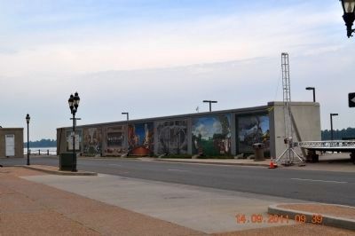
Paducah in McCracken County, Kentucky — The American South (East South Central)
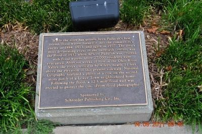
Paducah 1937 Flood
Erected by Sponsored by: Schroeder Publishing Co., Inc.
Topics. This historical marker is listed in this topic list: Disasters. A significant historical year for this entry is 1884.
Location. 37° 5.347′ N, 88° 35.68′ W. Marker is in Paducah, Kentucky, in McCracken County. Marker is at the intersection of North Water Street and Jeffferson Street, on the right when traveling north on North Water Street. Touch for map. Marker is in this post office area: Paducah KY 42001, United States of America. Touch for directions.
Other nearby markers. At least 8 other markers are within walking distance of this marker. Strawberry Capital of the World (here, next to this marker); Broadway, Paducah's Main Street (here, next to this marker); The Telephone System (a few steps from this marker); Illinois Central 2613 (a few steps from this marker); Flanking the Statue of Chief Paduke (a few steps from this marker); 1861 Paducah Chain (within shouting distance of this marker); Barkley/Cobb Memorial (within shouting distance of this marker); Fire Station #5 at 17th and Broadway (within shouting distance of this marker). Touch for a list and map of all markers in Paducah.
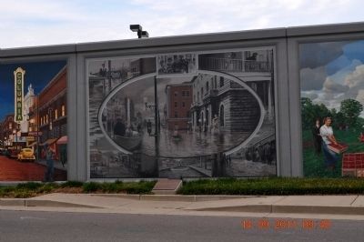
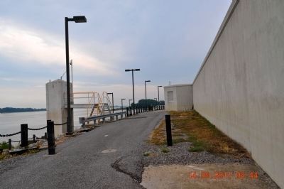
Also see . . . The Paducah Wall to Wall Floodwall Mural Project. Renowned artist Robert Dafford and his team of muralists capture Paducah’s rich history in paintings on the city’s floodwall overlooking the confluence of the Ohio and Tennessee Rivers. (Submitted on November 16, 2011, by Bernard Fisher of Richmond, Virginia.)
Credits. This page was last revised on June 16, 2016. It was originally submitted on November 14, 2011, by Sandra Hughes Tidwell of Killen, Alabama, USA. This page has been viewed 954 times since then and 29 times this year. Photos: 1, 2, 3, 4, 5. submitted on November 14, 2011, by Sandra Hughes Tidwell of Killen, Alabama, USA. • Bernard Fisher was the editor who published this page.
