Deadwood in Lawrence County, South Dakota — The American Midwest (Upper Plains)
The Fire of 1879
— A Trail to Deadwoood's Past —
Captions:
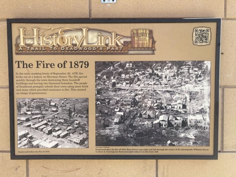
Deadwood before the fire of 1879.
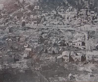
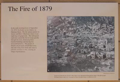
Deadwood after the fire of 1879. Main Street runs right and left through the center of the photograph. Williams Street is above it. Curving Lee Street (straight today) is in the lower left.
Erected by Deadwood Historic Preservation Commission. (Marker Number 15.)
Topics. This historical marker is listed in these topic lists: Disasters • Notable Events. A significant historical date for this entry is September 26, 1837.
Location. 44° 22.614′ N, 103° 43.806′ W. Marker is in Deadwood, South Dakota, in Lawrence County. Marker is at the intersection of Lee Street and Main Street on Lee Street. Touch for map. Marker is in this post office area: Deadwood SD 57732, United States of America. Touch for directions.
Other nearby markers. At least 8 other markers are within walking distance of this marker. Deadwood 1876 (a few steps from this marker); Jack McCall Capture Site (within shouting distance of this marker); Broadway Street (within shouting distance of this marker); Forest Hill (within shouting distance of this marker); The Great Flood (within shouting distance of this marker); Waite Block Annex (within shouting distance of this marker); St. Johns Episcopal Church, Est. 1880 (about 300 feet away, measured in a direct line); Black Hills Trust and Savings Bank (about 300 feet away). Touch for a list and map of all markers in Deadwood.
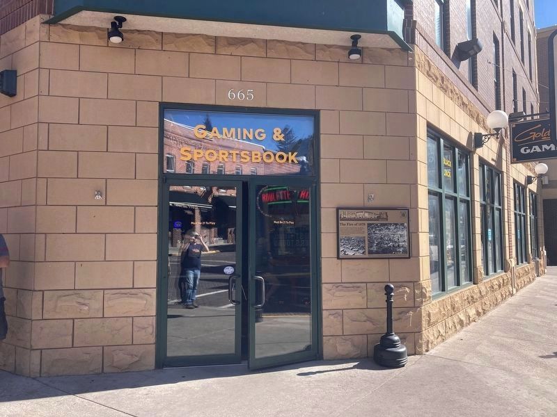
More about this marker. Located on the building at the northwest corner of Lee and Main Streets.
Regarding The Fire of 1879. Marker has been replaced with similar one
Additional keywords. fire

Photographed By Barry Swackhamer, July 23, 2009
3. Detail from the Fire of 1879 Marker
Deadwood after the fire of 1879. Main Street runs right and left through the center of the photograph. Williams Street is above it. Curving Lee Street (straight today) is in the lower left. [Photo credit] Adams Museum, Deadwood.
Credits. This page was last revised on October 6, 2021. It was originally submitted on November 19, 2011, by Barry Swackhamer of Brentwood, California. This page has been viewed 1,426 times since then and 187 times this year. Last updated on October 5, 2021, by Connor Olson of Kewaskum, Wisconsin. Photos: 1, 2. submitted on October 6, 2021, by Connor Olson of Kewaskum, Wisconsin. 3, 4. submitted on November 19, 2011, by Barry Swackhamer of Brentwood, California. • Mark Hilton was the editor who published this page.


