Mulberry in Polk County, Florida — The American South (South Atlantic)
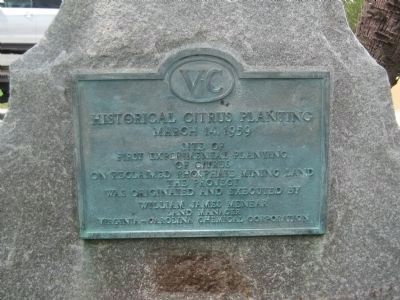
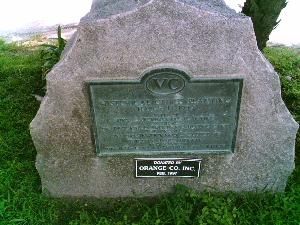
Historical Citrus Planting
Topics. This historical marker is listed in these topic lists: Horticulture & Forestry • Natural Resources. A significant historical date for this entry is March 14, 1843.
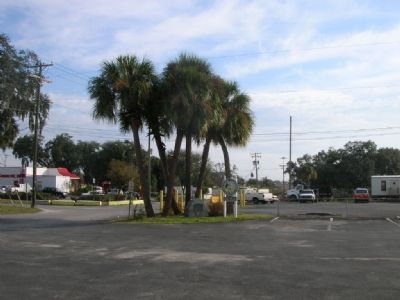
Location. 27° 53.635′ N, 81° 58.371′ W. Marker is in Mulberry, Florida, in Polk County. Marker is on SE First Street (State Road 37) near State Road 60, on the right when traveling north. Touch for map. Marker is at or near this postal address: 101 SE First St, Mulberry FL 33860, United States of America. Touch for directions.
Other nearby markers. At least 8 other markers are within 7 miles of this marker, measured as the crow flies. The Mulberry Time Capsule (within shouting distance of this marker); The Mulberry Tree (within shouting distance of this marker); Phosphate Area War Memorial (about 300 feet away, measured in a direct line); In Memorium to Cecil B. Strange (about 300 feet away); Pierce (approx. 4.4 miles away); PA-47 “Piper Jet” (approx. 6.9 miles away); Cirrus VK-30 (approx. 6.9 miles away); MiG-21 MF 1970 (approx. 6.9 miles away). Touch for a list and map of all markers in Mulberry.
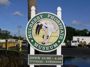
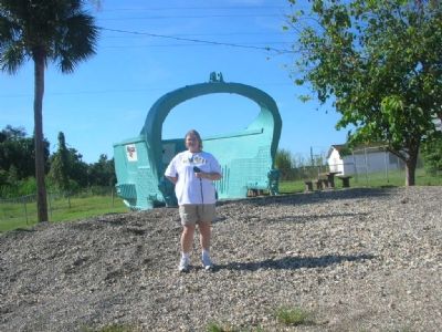
More about this marker. Parking lot of Mulberry Phosphate Museum. Museum is open Tuesday through Saturday from 10:00am to 4:30pm. A large dragline bucket is adjacent to the parking lot behind a load of mined rock. Visitors are free to sift through the rock for fossils and sharks’ teeth.
Regarding Historical Citrus Planting. No citrus trees remain in the immediate vicinity.
Additional keywords. museum, fossils
Credits. This page was last revised on June 16, 2016. It was originally submitted on November 1, 2007, by Julie Szabo of Oldsmar, Florida. This page has been viewed 1,870 times since then and 13 times this year. Last updated on January 27, 2008, by Julie Szabo of Oldsmar, Florida. Photos: 1. submitted on July 7, 2012, by Glenn Sheffield of Tampa, Florida. 2. submitted on November 1, 2007, by Julie Szabo of Oldsmar, Florida. 3. submitted on January 27, 2008, by Julie Szabo of Oldsmar, Florida. 4, 5. submitted on November 1, 2007, by Julie Szabo of Oldsmar, Florida. • Craig Swain was the editor who published this page.
