Potomac in Montgomery County, Maryland — The American Northeast (Mid-Atlantic)
Creating a National Park
Chesapeake & Ohio Canal National Historical Park
— National Park Service, U.S. Department of the Interior —
“It is a refuge, a place of retreat, a long stretch of quiet and peace at the Capital …”William O. Douglas.
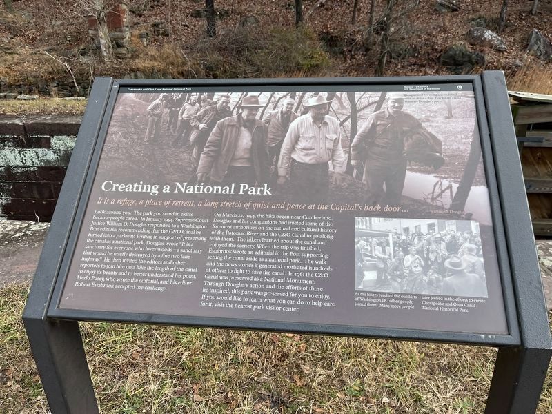
Look around you. The park you stand in exists because people cared. In January 1954, Justice William O. Douglas of the Supreme Court of the United States responded to a Washington Post editorial, recommending that the C&O Canal be turned into a parkway. Writing in support of preserving the canal as a national park, Douglas wrote, “It is a sanctuary for everyone who loves woods – a sanctuary that would be utterly destroyed by a fine two lane highway.” He invited the editors and other reporters to join him on a hike of the entire canal to enjoy its beauty and better understand his point. Merlo Pusey, who wrote the editorial, and his editor Robert Estabrook accepted the challenge.
On March 22, 1954, the hike began near Cumberland. Douglas and his companions invited authorities on the natural and cultural history of the Potomac River and the C&O Canal to join them. The hikers learned about the canal and enjoyed the scenery. After the hike, Estabrook wrote an editorial in the Post supporting setting the canal aside as a national park. The walk, and the news stories it generated, motivated hundreds to fight to save the canal. In 1961 the C&O Canal was preserved as a National Monument. Through Douglas’s action and the efforts of those he inspired, this park was preserved for you to enjoy. If you would like to learn what you can do to help care for the park, visit the nearest park visitor center.
Photo captions:
Douglas, in the white shirt, and his companions hiked over 20 miles a day. Few hikers could maintain Douglas’s pace.
The hikers at the hike’s end in Georgetown. As the hikers reach the outskirts of Washington, D.C. other people joined them. The hike inspired many people to join in the efforts to create Chesapeake and Ohio Canal National Historical Park.
Erected by National Park Service, U.S. Department of the Interior.
Topics and series. This historical marker is listed in these topic lists: Communications • Industry & Commerce • Parks & Recreational Areas • Waterways & Vessels. In addition, it is included in the Chesapeake and Ohio (C&O) Canal series list. A significant historical month for this entry is January 1954.
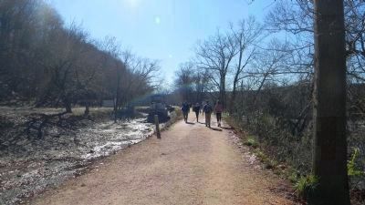
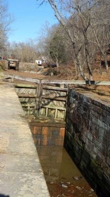
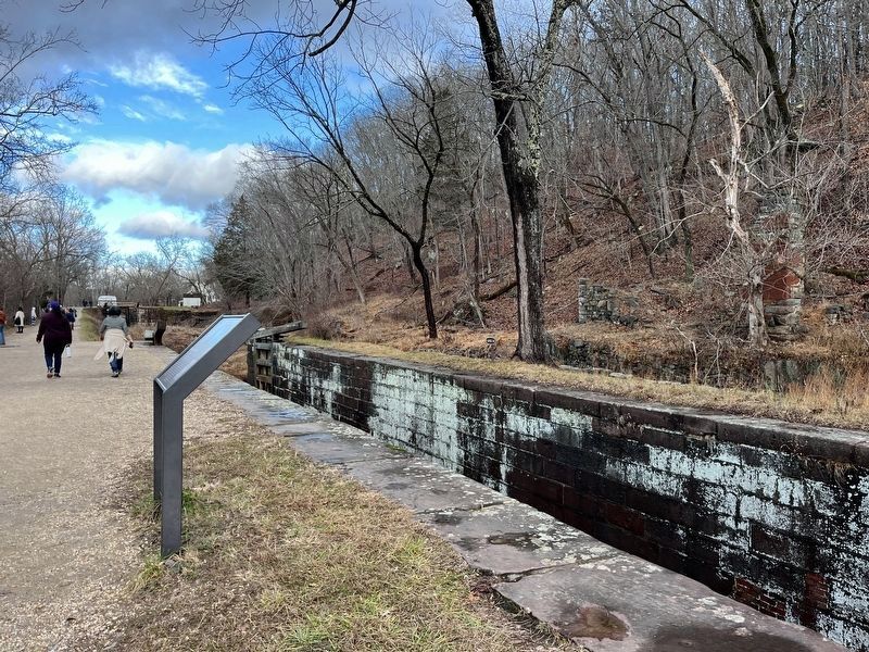
Location. 38° 59.945′ N, 77° 14.92′ W. Marker is in Potomac, Maryland, in Montgomery County. Marker is on Chesapeake and Ohio Canal Towpath south of Great Falls Road Climb. Touch for map. Marker is at or near this postal address: 11710 Chesapeake and Ohio Canal Towpath, Potomac MD 20854, United States of America. Touch for directions.
Other nearby markers. At least 8 other markers are within walking distance of this marker. A Geologic Barrier (within shouting distance of this marker); Fighting Floods (about 300 feet away, measured in a direct line); Great Falls Tavern (about 400 feet away); a different marker also named Great Falls Tavern (about 500 feet away); Washington Aqueduct (about 600 feet away); Welcome to Great Falls (about 700 feet away); Olmsted Island (approx. ¼ mile away); People and the Potomac (approx. 0.3 miles away in Virginia). Touch for a list and map of all markers in Potomac.
Also see . . . C&O Canal: History and Culture. (Submitted on November 26, 2011, by Richard E. Miller of Oxon Hill, Maryland.)
Credits. This page was last revised on January 11, 2024. It was originally submitted on November 26, 2011, by Richard E. Miller of Oxon Hill, Maryland. This page has been viewed 624 times since then and 19 times this year. Photos: 1. submitted on December 28, 2023, by Adam Margolis of Mission Viejo, California. 2, 3, 4, 5, 6. submitted on November 26, 2011, by Richard E. Miller of Oxon Hill, Maryland. 7. submitted on December 28, 2023, by Adam Margolis of Mission Viejo, California. • Bill Pfingsten was the editor who published this page.
