Bridgewater in Somerset County, New Jersey — The American Northeast (Mid-Atlantic)
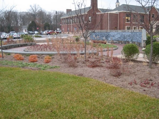
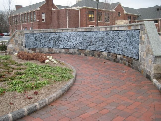
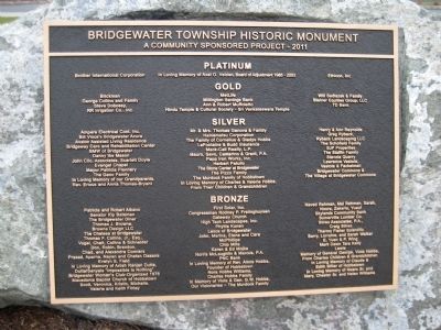
Bridgewater Township Historic Monument
[Plaque #1]
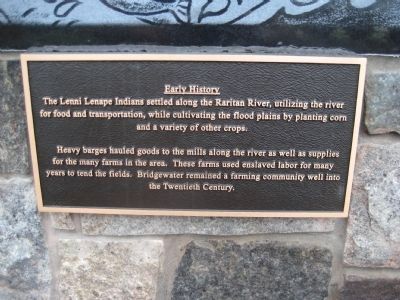
Early History
The Lenni Lenape Indians settled along the Raritan River, utilizing the river for food and transportation, while cultivating the flood plains by planting corn and a variety of other crops.
Heavy barges hauled goods to the mills along the river as well as supplies for the many farms in the area. These farms used enslaved labor for many years to tend the fields. Bridgewater remained a farming community well into the Twentieth Century.
[Plaque #2]
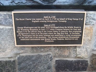
April 4, 1749
The Royal Charter was signed on April 4, 1749 on behalf of King George II of England creating Bridgewater Township.
June of 1777
George Washington and his army were encamped along the Middle Brook in the Watchung Mountains in June 1777 when Congress adopted the Stars and Stripes to be the official flag of the United States of America, thus originating Bridgewater's claim to be the place where the flag first flew. In December 1778, Washington and his army returned and established a winter encampment on the other side of the mountains. The second Middlebrook Encampment established cantonments near Bound Brook, Finderne, Martinsville and Pluckemin.
[Plaque #3]
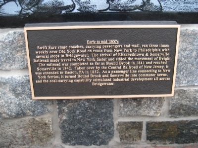
Early to mid 1800's
Swift Sure stage coaches, carrying passengers and mail, ran three times weekly over Old York Road en route from New York to Philadelphia with several stops in Bridgewater. The arrival of Elizabethtown & Somerville Railroad made travel to New York faster and added the movement of freight. The railroad was completed as far as Bound Brook in 1841 and reached Somerville in 1842. Taken over by the Central Railroad of New Jersey, it was extended to Easton, PA in 1852. As a passenger line connecting to New York ferries, it turned Bound Brook and Somerville into commuter towns, and the coal carrying capability stimulated industrial development all across Bridgewater.
[Plaque #4]
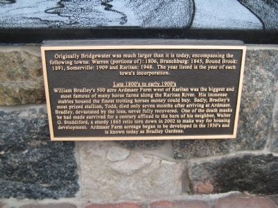
Originally Bridgewater was much larger than it is today, encompassing the following towns: Warren (portions of): 1806, Branchburg: 1845, Bound Brook: 1891, Somerville: 1909 and Raritan: 1948. The year listed is the year of each town's incorporation.
Late 1800's to early 1900's
William Bradley's 500 acre Ardmaer Farm west of Raritan was the biggest and most famous of many horse farms along the Raritan River. His immense stables housed the finest trotting horses money could buy. Sadly, Bradley's most prized stallion, Todd, died only seven months after arriving ar Ardmaer. Bradley, devastated by the loss, never fully recovered. One of the death masks he had made survived for a century affixed to the barn of his neighbor, Walter G. Studdiford, a sturdy 1865 relic torn down in 2002 to make way for a housing development. Ardmaer Farm acreage began to be developed in the 1930's and is known today as Bradley Gardens.
[Plaque #5]
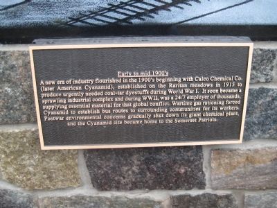
Early to mid 1900's
A new era of industry flourished in the 1900's beginning with the Calco Chemical Co. (later American Cyanimid), established on the Raritan meadows in 1915 to produce urgently needed coal-tar dyestuffs during World War I. It soon became a sprawling industrial complex and during World War II, was a 24/7 employer of thousands, supplying essential material for that global conflict. Wartime gas rationing forced Cyanamid to establish bus routes to surrounding communities for its workers. Postwar environmental concerns gradually shut down its giant chemical plant, and the Cyanamid site became home to the Somerset Patriots.
[Plaque #6]
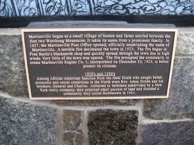
Martinsville began as a small village of homes and farms nestled between the first two Watchung Mountains. It takes its name from a prominent family. In 1827, the Martinsville Post Office opened, officially establishing the name of Martinsville. A terrible fire decimated the town in 1923. The fire began in Fred Bartle's blacksmith shop and quickly spread through the town due to high winds. Very little of the town was spared. The fire prompted the community to create Martinsville Engine Co. 1, incorporated on December 23, 1923, to better protect its citizens.
1920's and 1930's
Among African American families from the rural South who sought better economic and social conditions in the North were Rev. Amos Hobbs and his brothers, General and Charles. Attracted to farmland subdivided by a New York realty company, they acquired small parcels of land and founded a community they called Hobbstown in 1921.
[Plaque #7]
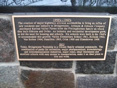
1950's and 1960's The creation of major highways allowed automobiles to bring an influx of new residents and industry to Bridgewater. Johnson & Johnson Company purchased Raritan Valley Farms from the Frelinghuysen family on which they built Ethicon and Ortho. As industry and residential development grew, so did the need for housing and schools. Six schools were built in the 1960's to accommodate this growth: Valley Elementary School 1961, Hillside 1962, Van Holten 1964, Hamilton 1965, Crim 1968 and Eisenhower 1969.
2011
Today, Bridgewater Township is a vibrant family oriented community. The combination of parks for recreation, major pharmaceutical, biotechnology and telecommunication industries, major retail, small businesses and excellent schools with easy access to transportation, make it an ideal place to live and work.
Erected 2011.
Topics. This historical marker and monument is listed in this topic list: Settlements & Settlers. A significant historical month for this entry is April 1883.
Location. 40° 35.513′ N, 74° 37.56′ W. Marker is in Bridgewater, New Jersey, in Somerset County. Marker is on Commons Way, on the right when traveling north. Touch for map. Marker is in this post office area: Bridgewater NJ 08807, United States of America. Touch for directions.
Other nearby markers. At least 8 other markers are within 2 miles of this marker, measured as the crow flies. The Official End Of World War I (approx. 1.1 miles away); Jacob Vosseller House (approx. 1.1 miles away); Washington’s Route from Princeton to Morristown (approx. 1.1 miles away); Jersey Central Lines (approx. 1½ miles away); World War II Memorial (approx. 1½ miles away); Furman Frederick Kugler (approx. 1½ miles away); Site of St. Thomas A.M.E. Zion Parsonage (approx. 1½ miles away); Somerville Borough Hall (approx. 1½ miles away). Touch for a list and map of all markers in Bridgewater.
Credits. This page was last revised on June 16, 2016. It was originally submitted on November 29, 2011, by Alan Edelson of Union Twsp., New Jersey. This page has been viewed 1,226 times since then and 67 times this year. Photos: 1, 2, 3, 4, 5, 6, 7, 8, 9, 10. submitted on November 29, 2011, by Alan Edelson of Union Twsp., New Jersey. • Bill Pfingsten was the editor who published this page.
