Sandy Hook in Washington County, Maryland — The American Northeast (Mid-Atlantic)
Stone Fort
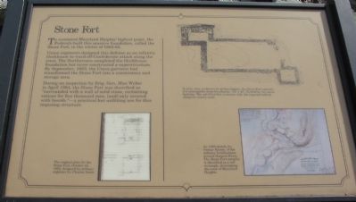
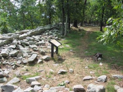
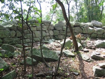
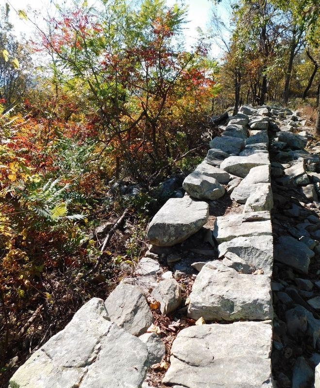
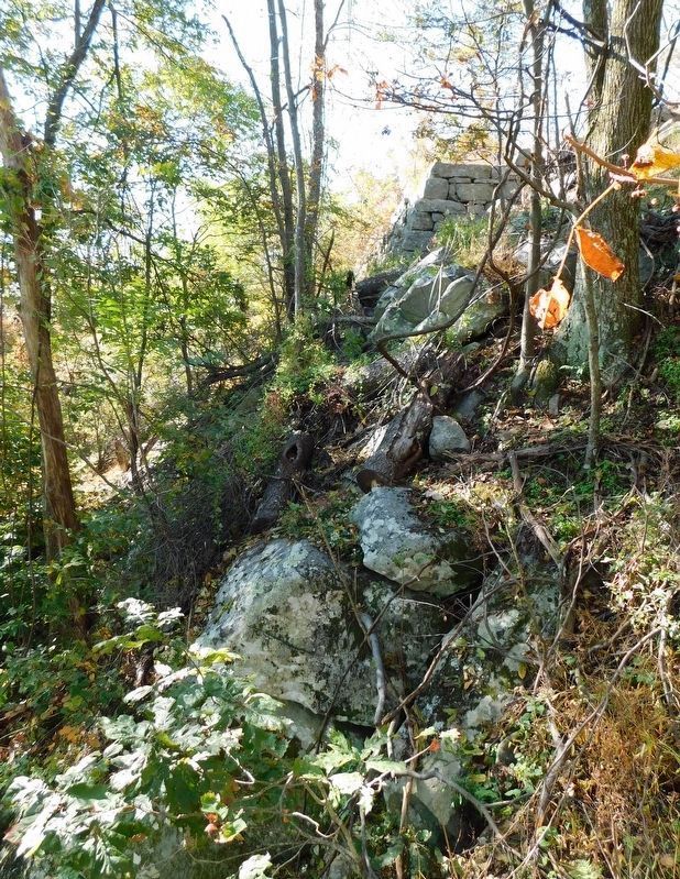
To command Maryland Heights' highest point, the Federals built this massive foundation, called the Stone Fort in the winter of 1862-63.
Union engineers designed this defense as an infantry blockhouse to ward off Confederate attack along the crest. The Northerners completed the blockhouse foundation but never constructed a superstructure. By September, 1863, the Union garrison had transformed the Stone Fort into a commissary and storage area.
During an inspection by Brig. Gen. Max Weber in April 1864, the Stone Fort was described as "surrounded with a wall of solid stone, containing rations for five thousand men, [and] only covered with boards." - a practical but unfitting use for this imposing structure.
Topics. This historical marker is listed in these topic lists: Forts and Castles • War, US Civil. A significant historical month for this entry is April 1864.
Location. 39° 20.542′ N, 77° 43.12′ W. Marker is in Sandy Hook, Maryland, in Washington County. Marker can be reached from Sandy Hook Road. Located on the Stone Fort Trail loop of Maryland Heights in Harpers Ferry National Historical Park. Touch for map. Marker is in this post office area: Knoxville MD 21758, United States of America. Touch for directions.
Other nearby markers. At least 8 other markers are within walking distance of this marker. Interior Fort (within shouting distance of this marker); Exterior Fort (about 500 feet away, measured in a direct line); Civil War Campgrounds (approx. 0.4 miles away); 100 - Pounder Battery - Heaviest and Highest (approx. half a mile away); Charcoal Making on Maryland Heights (approx. 0.6 miles away); Making a Mountain Citadel (approx. 0.7 miles away); 30-Pounder Battery (approx. 0.8 miles away); Hiking Maryland Heights (approx. 0.8 miles away). Touch for a list and map of all markers in Sandy Hook.
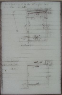
More about this marker. On the lower left is "The original plan for the Stone Fort, October 10, 1862, designed by military engineer Lt. Charles Suter."
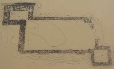
In the upper right is a diagram of the fort from recent excavations, "In plan view, as drawn by archaeologists, the Stone Fort consists of a rectangular stone foundation, 100' x 40', flanked by two stone bastions. The soil-filled fort contrasts with the exposed bedrock along the nearby crest.
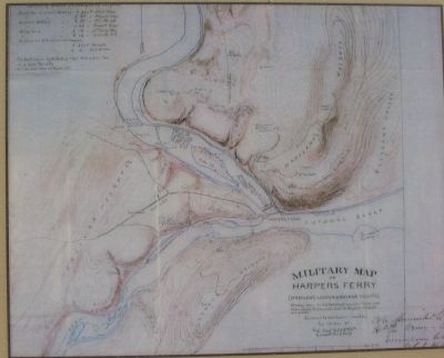
On the lower right is "An 1863 sketch, by George Kaiser, of the military fortifications around Harpers Ferry. The Stone Fort complex is identified as a red rectangle, dominating the crest of Maryland Heights."
Regarding Stone Fort.
This marker is one of a set along the National Park Service's trail to the top of Maryland Heights.
Credits. This page was last revised on March 19, 2022. It was originally submitted on January 27, 2008, by Craig Swain of Leesburg, Virginia. This page has been viewed 2,210 times since then and 49 times this year. Photos: 1, 2, 3, 4, 5, 6. submitted on January 27, 2008, by Craig Swain of Leesburg, Virginia. 7, 8. submitted on March 12, 2021, by Bradley Owen of Morgantown, West Virginia.
