Texas City in Galveston County, Texas — The American South (West South Central)
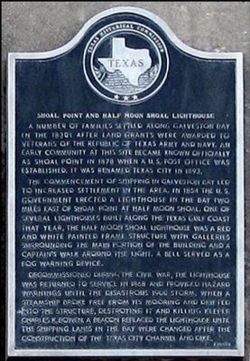
Shoal Point and Half Moon Shoal Lighthouse
A number of families settled along Galveston Bay in the 1830s after land grants were awarded to veterans of the republic of Texas army and navy. An early community at this site became known officially as Shoal Point in 1878 when a U. S. Post Office was established. It was renamed Texas City in 1893.
The commencement of shipping in Galveston Bay led to increased settlement in the area. In 1854 the U. S. Government erected a lighthouse in the bay two miles east of Shoal Point at Half Moon Shoal. One of several lighthouses built along the Texas Gulf Coast that year, the Half Moon Shoal lighthouse was a red and white painted frame structure with galleries surrounding the main portion of the building and a captain's walk around the light. A bell served as a fog warning device.
Decommissioned during the Civil War, the lighthouse was returned to service in 1868 and provided hazard warnings until the disastrous 1900 storm, when a steamship broke free from its mooring and drifted into the structure, destroying it and killing keeper Charles K. Bowen. A beacon replaced the lighthouse until the shipping lanes in the bay were changed after the construction of the Texas City channel and dike.
Erected 1991 by Texas Historical Commission. (Marker Number 7185.)
Topics and series. This historical marker is listed in these topic lists: Settlements & Settlers • War, US Civil. In addition, it is included in the Lighthouses series list. A significant historical year for this entry is 1878.
Location. 29° 23.895′ N, 94° 53.565′ W. Marker is in Texas City, Texas, in Galveston County. Marker can be reached from Bay Street near 14th Avenue, on the right when traveling north. Touch for map. Marker is in this post office area: Texas City TX 77590, United States of America. Touch for directions.
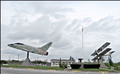
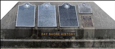
Other nearby markers. At least 8 other markers are within walking distance of this marker. William Jefferson Jones (here, next to this marker); Site of Austinia (here, next to this marker); Old Bay Lake Ranch (here, next to this marker); F-100F North American Super Sabre (a few steps from this marker); U.S. Army Camp at Texas City (a few steps from this marker); Anchor Park (approx. 0.4 miles away); Texas City Dike (approx. 0.4 miles away); First Aero Squadron (approx. 0.4 miles away). Touch for a list and map of all markers in Texas City.
Credits. This page was last revised on July 15, 2022. It was originally submitted on December 8, 2011, by Jim Evans of Houston, Texas. This page has been viewed 2,116 times since then and 76 times this year. Last updated on July 11, 2022, by Joe Lotz of Denton, Texas. Photos: 1. submitted on December 8, 2011, by Jim Evans of Houston, Texas. 2, 3. submitted on December 4, 2011, by Jim Evans of Houston, Texas. • J. Makali Bruton was the editor who published this page.


