Near New Market in Shenandoah County, Virginia — The American South (Mid-Atlantic)
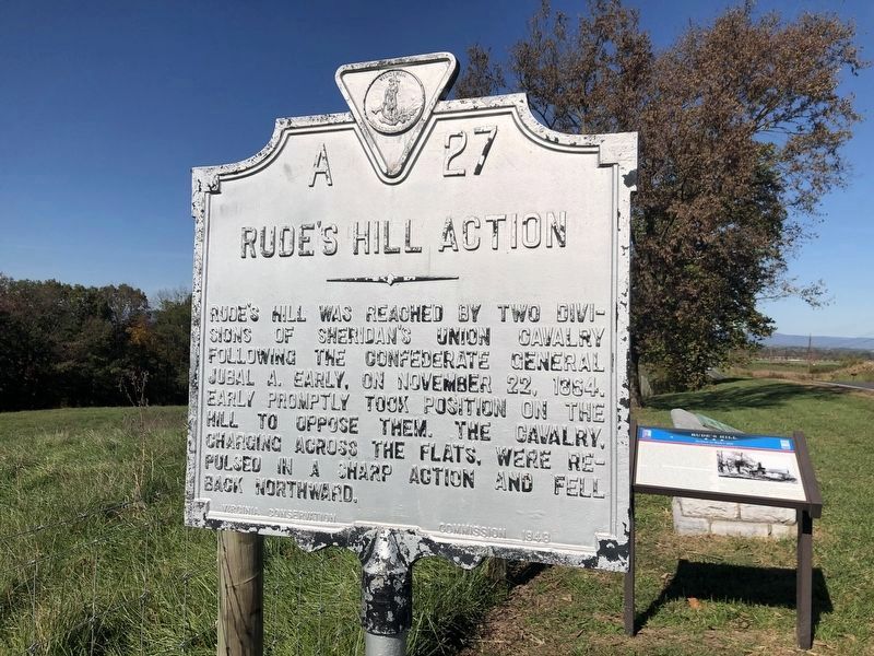
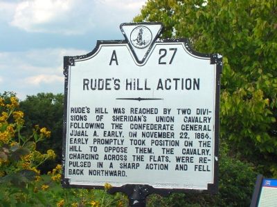
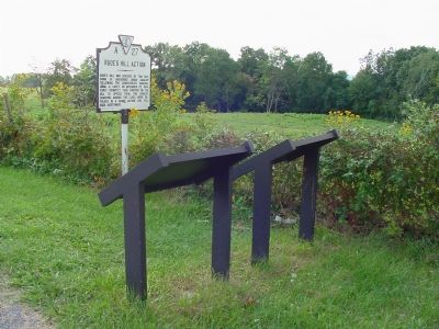
Rude’s Hill Action
Erected 1948 by the Virginia Conservation Commission. (Marker Number A-27.)
Topics and series. This historical marker is listed in this topic list: War, US Civil. In addition, it is included in the Virginia Department of Historic Resources (DHR) series list. A significant historical month for this entry is November 1952.
Location. 38° 42.159′ N, 78° 38.919′ W. Marker has been reported damaged. Marker is near New Market, Virginia, in Shenandoah County. Marker is on Old Valley Pike (U.S. 11) south of Caverns Road at Exit 269 (Interstate 81), on the right when traveling south. Touch for map. Marker is in this post office area: New Market VA 22844, United States of America. Touch for directions.
Other nearby markers. At least 8 other markers are within walking distance of this location. Rude's Hill (here, next to this marker); a different marker also named Rude’s Hill (here, next to this marker); a different marker also named Rude’s Hill (here, next to this marker); Cavalry Engagement (a few steps from this marker); In Memory of Noah Richard Proctor (approx. half a mile away); Summers & Koontz Monument (approx. 0.7 miles away); The Post-Appomattox Tragedy Monument (approx. 0.7 miles away); DuPont at Rude’s Hill (approx. 0.7 miles away). Touch for a list and map of all markers in New Market.
More about this marker. This marker replaced a Virginia Conservation and Development Commission marker with the same title and number that read, “Here two divisions of Sheridan’s cavalry attacked Early’s infantry, November 22, 1863. The attack was made across the flats and was repulsed.”

Photographed By Devry Becker Jones (CC0), October 17, 2020
2. Rude’s Hill Action Marker
The sign has visibly weathered.
Credits. This page was last revised on August 5, 2022. It was originally submitted on January 26, 2007, by J. J. Prats of Powell, Ohio. This page has been viewed 2,644 times since then and 44 times this year. Last updated on December 9, 2011, by Don Hogan of Milton, Georgia. Photos: 1. submitted on January 26, 2007, by J. J. Prats of Powell, Ohio. 2. submitted on October 18, 2020, by Devry Becker Jones of Washington, District of Columbia. 3. submitted on January 26, 2007, by J. J. Prats of Powell, Ohio. 4. submitted on December 6, 2006, by J. J. Prats of Powell, Ohio. • Craig Swain was the editor who published this page.


