Prosperity in Newberry County, South Carolina — The American South (South Atlantic)
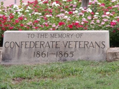
Confederate Veterans
Confederate Veterans
1861 - 1865
Erected 1928 by The William Lester Chapter UDC.
Topics and series. This historical marker is listed in this topic list: War, US Civil. In addition, it is included in the United Daughters of the Confederacy series list. A significant historical year for this entry is 1861.
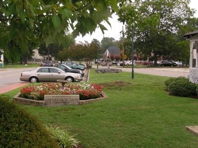
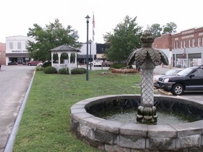
Location. 34° 12.561′ N, 81° 31.993′ W. Marker is in Prosperity, South Carolina, in Newberry County. Marker is on Towne Square, in the median. Touch for map. Marker is in this post office area: Prosperity SC 29127, United States of America. Touch for directions.
Other nearby markers. At least 8 other markers are within 7 miles of this marker, measured as the crow flies. The Rock House (approx. 4 miles away); St. Paul Lutheran Church (approx. 5 miles away); Rev. Joachim Bulow. (approx. 5.1 miles away); Mollohon Mill and Village (approx. 5.9 miles away); Clayton Memorial Universalist Unitarian (approx. 6.1 miles away); Bush River Quaker Meeting (approx. 6.1 miles away); Henry McNeal Turner (approx. 6.2 miles away); Calvin Crozier Murder Site (approx. 6.3 miles away).
Additional commentary.
1. Historical Events
The William Lester Chapter UDC erected this marker in 1928 for $400. It is four feet by nine inches. The chapter was named in honor of William Lester, Captain of the Dekalb Guards, Company G, 13th SC Volunteer Regiment. He rose to the rank of Lt. Colonel of the 13th Regiment by the close of the war.
— Submitted December 10, 2011, by Anna Inbody of Columbia, South Carolina.
Credits. This page was last revised on June 16, 2016. It was originally submitted on December 10, 2011, by Anna Inbody of Columbia, South Carolina. This page has been viewed 663 times since then and 36 times this year. Photos: 1, 2, 3. submitted on December 10, 2011, by Anna Inbody of Columbia, South Carolina. • Craig Swain was the editor who published this page.


