Fishersville in Augusta County, Virginia — The American South (Mid-Atlantic)
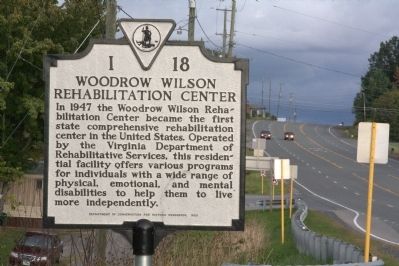
Woodrow Wilson Rehabilitation Center
In 1947 the Woodrow Wilson Rehabilitation Center became the first state comprehensive rehabilitation center in the United States. Operated by the Virginia Department of Rehabilitative Services, this residential facility offers various programs for individuals with a wide range of physical, emotional, and mental disabilities to help them to live more independently.
Erected 1985 by Department of Conservation and Development. (Marker Number I-18.)
Topics and series. This historical marker is listed in this topic list: Charity & Public Work. In addition, it is included in the Virginia Department of Historic Resources (DHR) series list. A significant historical year for this entry is 1947.
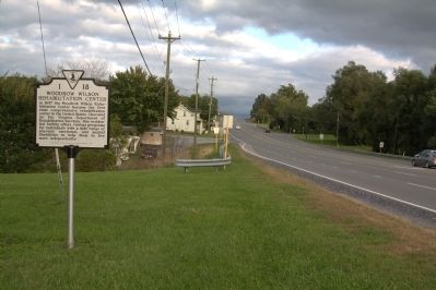
Location. 38° 6.562′ N, 78° 59.538′ W. Marker is in Fishersville, Virginia, in Augusta County. Marker is at the intersection of Jefferson Highway (U.S. 250) and Woodrow Wilson Avenue (Virginia Route 358), on the left when traveling east on Jefferson Highway. Touch for map. Marker is at or near this postal address: 243 Woodrow Wilson Ave, Fishersville VA 22939, United States of America. Touch for directions.
Other nearby markers. At least 8 other markers are within 4 miles of this marker, measured as the crow flies. Woodrow Wilson General Hospital (approx. half a mile away); a different marker also named Woodrow Wilson General Hospital (approx. 0.6 miles away); Tinkling Spring Church (approx. 1.7 miles away); Old Glory (approx. 3 miles away); The Barger House (approx. 3.1 miles away); Avenue of Trees (approx. 3.2 miles away); First Settler's Grave (approx. 3.2 miles away); The Great Road (approx. 3.3 miles away). Touch for a list and map of all markers in Fishersville.
Also see . . .
1. Woodrow Wilson Rehabilitation Center. Center website homepage:
“The Center provides vocational training and medical interventions for people with disabilities to assist them in obtaining employment and to live more independently.” (Submitted on December 17, 2011.)
2. How well do you know WWRC's history?. News Leader website entry (Submitted on May 31, 2022, by Larry Gertner of New York, New York.)
Credits. This page was last revised on May 31, 2022. It was originally submitted on December 17, 2011, by J. J. Prats of Powell, Ohio. This page has been viewed 963 times since then and 34 times this year. Photos: 1, 2. submitted on December 17, 2011, by J. J. Prats of Powell, Ohio.
Editor’s want-list for this marker. Photos of the campus • Can you help?

