Wrightsville in York County, Pennsylvania — The American Northeast (Mid-Atlantic)
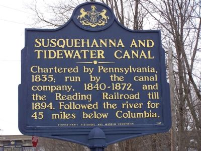
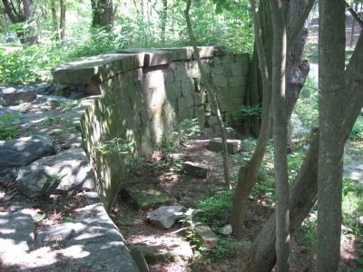
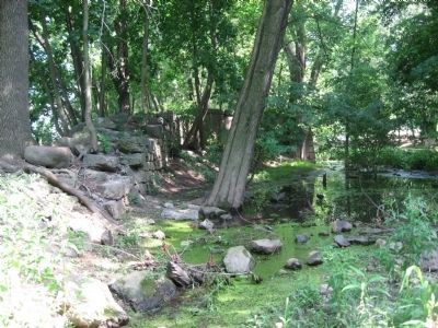
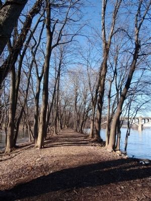
Susquehanna and Tidewater Canal
Erected by Pennsylvania Historical and Museum Commission.
Topics and series. This historical marker is listed in these topic lists: Railroads & Streetcars • Waterways & Vessels. In addition, it is included in the Pennsylvania Historical and Museum Commission, and the Susquehanna and Tidewater Canal series lists. A significant historical year for this entry is 1835.
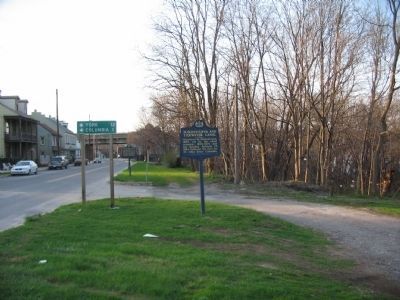
Location. 40° 1.468′ N, 76° 31.604′ W. Marker is in Wrightsville, Pennsylvania, in York County. Marker is at the intersection of Front Street and Orange Street, on the left when traveling south on Front Street. Touch for map. Marker is in this post office area: Wrightsville PA 17368, United States of America. Touch for directions.
Other nearby markers. At least 8 other markers are within walking distance of this marker. Susquehanna Canal (a few steps from this marker); Veterans Memorial Bridge (about 500 feet away, measured in a direct line); Susquehanna River Water Trail (about 600 feet away); a different marker also named The Susquehanna and Tidewater Canal (about 600 feet away); American Legion Monument (about 800 feet away); Wrightsville (approx. 0.2 miles away); Gettysburg Campaign (approx. 0.2 miles away); The Old Post Office Building (approx. 0.2 miles away). Touch for a list and map of all markers in Wrightsville.
Related marker. Click here for another marker that is related to this marker. Southern terminus at Havre de Grace, MD
Photographed By Mark Gagermeier, August 11, 2011
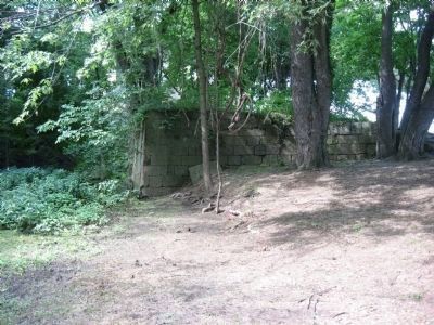
5. Susquehanna and Tidewater Canal Lock #1
Looking north (up river), this is what remains of Lock #1 or the Guard Lock at the north end of the canal in Wrightsville, PA. The guard lock did not raise or lower the water level it protected the canal from the river. Water in a canal does not flow; therfore, a lock was required to enter the canal and protect it from the flow of the Susquehanna river and the boat basin that sat on the upriver side of the lock.
Credits. This page was last revised on June 22, 2021. It was originally submitted on January 29, 2008, by Bill Pfingsten of Bel Air, Maryland. This page has been viewed 2,006 times since then and 12 times this year. Photos: 1. submitted on January 29, 2008, by Bill Pfingsten of Bel Air, Maryland. 2. submitted on June 12, 2010, by Craig Swain of Leesburg, Virginia. 3. submitted on January 29, 2008, by Bill Pfingsten of Bel Air, Maryland. 4. submitted on February 25, 2010, by Dianne Bowders of York, PA. 5, 6, 7. submitted on August 30, 2011, by Mark Gagermeier of Thomasville, Pennsylvania. 8. submitted on March 27, 2012, by Dianne Bowders of York, Pennsylvania.
