Franklin in Williamson County, Tennessee — The American South (East South Central)
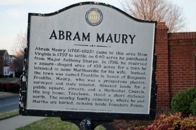
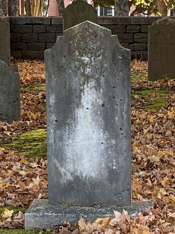
Abram Maury
Erected 1994 by Williamson County Historical Society.
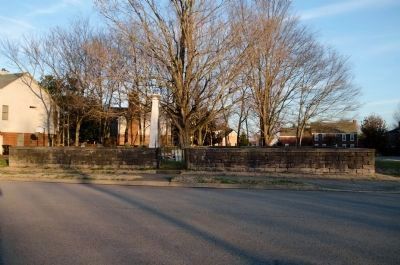
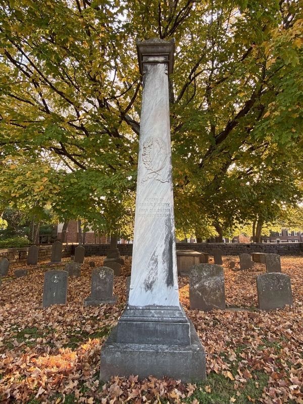
Topics and series. This historical marker is listed in these topic lists: Cemeteries & Burial Sites • Settlements & Settlers. In addition, it is included in the Tennessee – Williamson County Historical Society series list. A significant historical year for this entry is 1797.
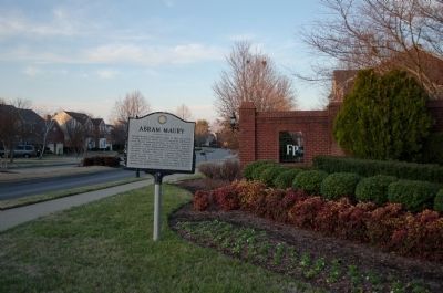
Location. 35° 55.792′ N, 86° 53.748′ W. Marker is in Franklin, Tennessee, in Williamson County. Marker is at the intersection of Founders Pointe Boulevard and New Highway 96 (State Route 96), on the right when traveling north on Founders Pointe Boulevard. Touch for map. Marker is in this post office area: Franklin TN 37064, United States of America. Touch for directions.
Other nearby markers. At least 8 other markers are within one mile of this marker, measured as the crow flies. Franklin Noon Rotary Rodeo (approx. 0.7 miles away); DeGraffenreid Cemetery (approx. 0.7 miles away); Rev. Mark Lyell Locke Andrews (approx. 0.7 miles away); Charles C. Johnson School (approx. ¾ mile away); Major Anthony Sharpe (1746-1812)/ George Hulme (1761-1835) (approx. 0.8 miles away); Hard Bargain (approx. 0.9 miles away); Harpeth Academy (approx. one mile away); Toussaint L'Ouverture Cemetery (approx. one mile away). Touch for a list and map of all markers in Franklin.
Credits. This page was last revised on December 31, 2020. It was originally submitted on December 17, 2011, by Richard Hitt of Franklin, Tennessee. This page has been viewed 1,333 times since then and 54 times this year. Last updated on December 18, 2011, by Richard Hitt of Franklin, Tennessee. Photos: 1, 2, 3. submitted on December 17, 2011, by Richard Hitt of Franklin, Tennessee. 4, 5. submitted on December 31, 2020, by Darren Jefferson Clay of Duluth, Georgia. • Craig Swain was the editor who published this page.
