San Jacinto in Riverside County, California — The American West (Pacific Coastal)
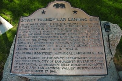
Soviet Transpolar Landing Site
Erected 1991 by State Department of Parks and Recreation, City of San Jacinto, Riverside County Historical Commission, Billy Holcomb Chapter No. 1069, E Clampus Vitus, and San Jacinto Valley Museum Association. (Marker Number 989.)
Topics and series. This historical marker is listed in these topic lists: Air & Space • Notable Events. In addition, it is included in the California Historical Landmarks, and the E Clampus Vitus series lists. A significant historical month for this entry is July 1944.
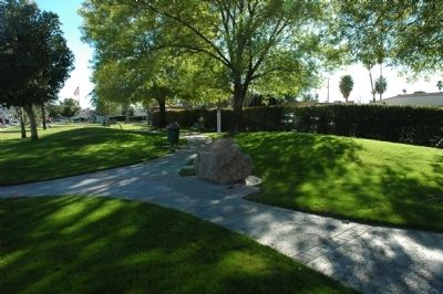
Location. 33° 46.931′ N, 116° 57.555′ W. Marker is in San Jacinto, California, in Riverside County. Marker is at the intersection of South San Jacinto Avenue (California Route 79) and East 6th Street, on the right when traveling south on South San Jacinto Avenue. Marker is located in Hoffman Park, immediately east of the San Jacinto Police Department. Touch for map. Marker is at or near this postal address: 556 South San Jacinto Avenue, San Jacinto CA 92583, United States of America. Touch for directions.
Other nearby markers. At least 8 other markers are within 13 miles of this marker, measured as the crow flies. Estudillo Mansion (approx. half a mile away); Transpolar Record Flight Site (approx. 3 miles away); Pochea Indian Village Site (approx. 4.3 miles away); "Ramona" (approx. 4.4 miles away); Hemet Maze Stone (approx. 5.6 miles away); Beaumont Library District (approx. 10.4 miles away); Banning Woman's Club Clubhouse (approx. 11 miles away); Fred McCall Family (approx. 12.1 miles away). Touch for a list and map of all markers in San Jacinto.
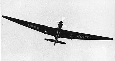
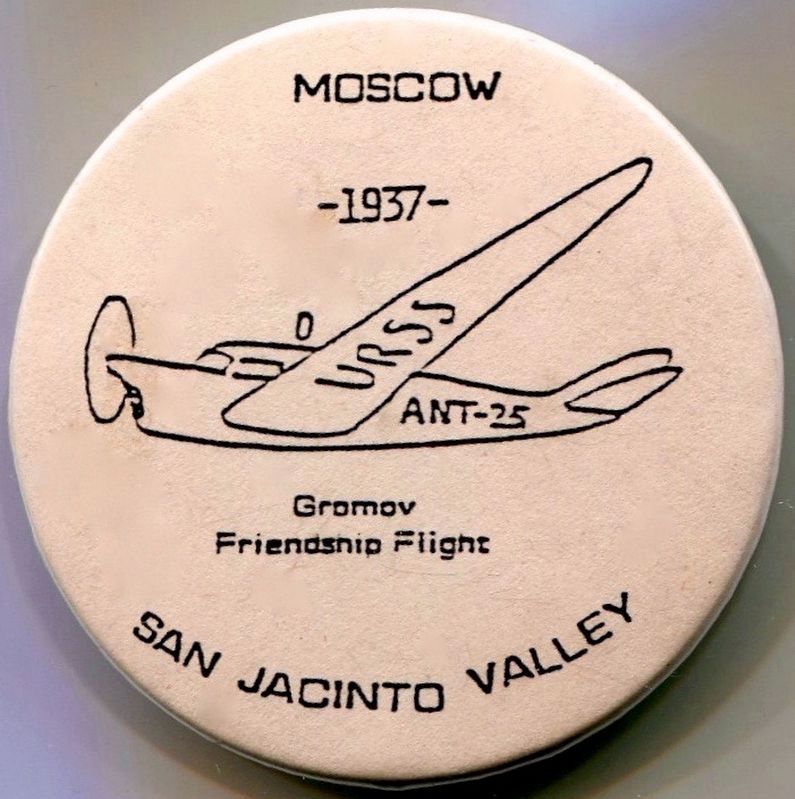
Regarding Soviet Transpolar Landing Site. The previous marker commemorating this event, erected in 1987, was marred with bullet holes, but is still located very near the actual landing of the Soviet aircraft. The Soviet Transpolar Landing Site has been upgraded by the State Historic Resources Commission to a California Registered Historical Landmark. Attending the dedication were members of the original Russian flight crews that made history with the transpolar flights.
SOURCE: Billy Holcomb Chapter 1069 35th Anniversary Plaque Book by Phillip Holdaway
Related markers. Click here for a list of markers that are related to this marker. Soviet Transpolar Flights of 1937
Credits. This page was last revised on August 9, 2016. It was originally submitted on December 19, 2011, by Michael Kindig of Elk Grove, California. This page has been viewed 1,753 times since then and 57 times this year. Photos: 1. submitted on December 19, 2011, by Michael Kindig of Elk Grove, California. 2. submitted on December 24, 2011, by Michael Kindig of Elk Grove, California. 3. submitted on December 20, 2011, by Michael Kindig of Elk Grove, California. 4. submitted on August 8, 2016, by Michael Kindig of Elk Grove, California. • Syd Whittle was the editor who published this page.


