Near Oatman in Mohave County, Arizona — The American Mountains (Southwest)
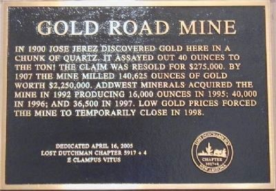
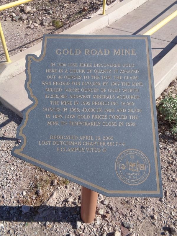
Gold Road Mine
In 1900 Jose Jerez discovered gold here in a chunk of quartz. It was assayed out 40 ounces to the ton! The claim was resold for $275,000. By 1907 the mine milled 140,625 ounces of gold worth $2,250,000. Addwest Minerals acquired the mine in 1992 producing 16,000 ounces in 1995; 40,000 in 1996; and 36,500 in 1997. Low gold prices forced the mine to temporarily close in 1998.
Erected 2005 by E Clampus Vitus Lost Dutchman Chapter 5917+4.
Topics and series. This historical marker is listed in this topic list: Natural Resources. In addition, it is included in the E Clampus Vitus series list. A significant historical year for this entry is 1900.
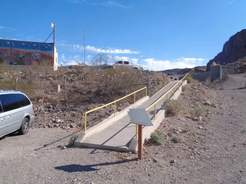
Location. 35° 2.738′ N, 114° 22.649′ W. Marker is near Oatman, Arizona, in Mohave County. Marker is on Oatman -Topock Highway (Historic Route 66) (County Road 10). Touch for map. Marker is in this post office area: Golden Valley AZ 86413, United States of America. Touch for directions.
Other nearby markers. At least 8 other markers are within 2 miles of this marker, measured as the crow flies. Oatman, Arizona (approx. 1.4 miles away); Durlin Hotel (approx. 1.4 miles away); a different marker also named Oatman (approx. 1.4 miles away); Arizona Hotel (approx. 1.4 miles away); Olive Ann Oatman Fairchild (approx. 1.4 miles away); Gold Mining Ghost Town, Oatman, Arizona (approx. 1.4 miles away); Oatman Drug and Health Club (approx. 1.4 miles away); Oatman Arizona and its Burros (approx. 1.4 miles away). Touch for a list and map of all markers in Oatman.
Also see . . .
1. Gold Road Mine and Historic Route 66. Oatman and the Mines along Old Route 66 website entry:
Some beautiful photographs of the area. (Submitted on December 19, 2011.)
2. Gold Road Mine. Mindat.org website entry:
A non-commercial online mineralogical database, claiming to be the largest mineral database and mineralogical reference website on the internet. It contains a significant database of minerals, localities and mineral photographs, and is updated constantly by registered users adding and editing entries. (Submitted on December 20, 2011, by Michael Kindig of Elk Grove, California.)
Credits. This page was last revised on July 24, 2022. It was originally submitted on October 29, 2011, by Frank Houdek of Kingman, Arizona. This page has been viewed 1,410 times since then and 51 times this year. Last updated on December 20, 2011, by Michael Kindig of Elk Grove, California. Photos: 1. submitted on October 29, 2011, by Frank Houdek of Kingman, Arizona. 2, 3. submitted on March 14, 2022, by Jason Voigt of Glen Carbon, Illinois. • Syd Whittle was the editor who published this page.


