Wrightsville in York County, Pennsylvania — The American Northeast (Mid-Atlantic)
The Susquehanna and Tidewater Canal
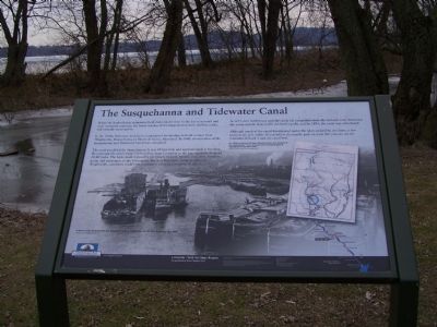
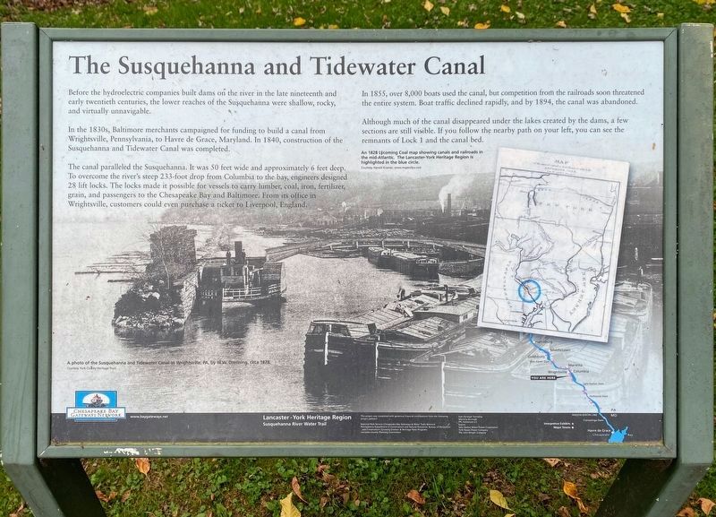
In the 1830s, Baltimore merchants campaigned for funding to build a canal from Wrightsville, Pennsylvania, to Havre de Grace, Maryland. In 1840, construction of the Susquehanna and Tidewater Canal was completed.
The canal paralleled the Susquehanna. It was 50 feet wide and approximately 6 feet deep. To overcome the river's steep 233-foot drop from Columbia to the bay, engineers designed 28 lift locks. The locks made it possible for vessels to carry lumber, coal, iron, fertilizer, grain, and passengers to the Chesapeake Bay and Baltimore. From its office in Wrightsville, customers could even purchase a ticket to Liverpool, England.
In 1855, over 8,000 boats used the canal, but competition from the railroads soon threatened the entire system. Boat traffic declined rapidly, and by 1894, the canal was abandoned.
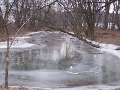
Although much of the canal disappeared under the lakes created by the dams, a few sections are still visible. If you follow the nearby path on your left, you can see the remnants of Lock 1 and the canal bed.
A photo of the Susquehanna and Tidewater Canal at Wrightsville, PA, by W.W. Drenning, circa 1878.
Courtesy York Heritage Trust
An 1828 Lycoming Coal map showing canals and railroads in
the mid-Atlantic. The Lancaster-York Heritage Region is
highlighted in the blue circle.
Courtesy Harold Kramer, www.mapsofpa.com
of the several Canals and Rail Roads by which the
Lycoming Coal
can be sent to Market
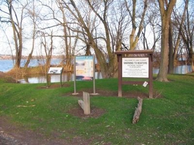
Erected by Lancaster - York Heritage Region Susquehanna River Water Trail.
Topics and series. This historical marker is listed in these topic lists: Industry & Commerce • Railroads & Streetcars • Waterways & Vessels. In addition, it is included in the Susquehanna and Tidewater Canal series list. A significant historical year for this entry is 1840.
Location. 40° 1.423′ N, 76° 31.496′ W. Marker is in Wrightsville, Pennsylvania, in York County. Marker can be reached from Maple Street, 0.1 miles east of S. Front Street, on the right when traveling south. Touch for map. Marker is in this post office area: Wrightsville PA 17368, United States of America. Touch for directions.
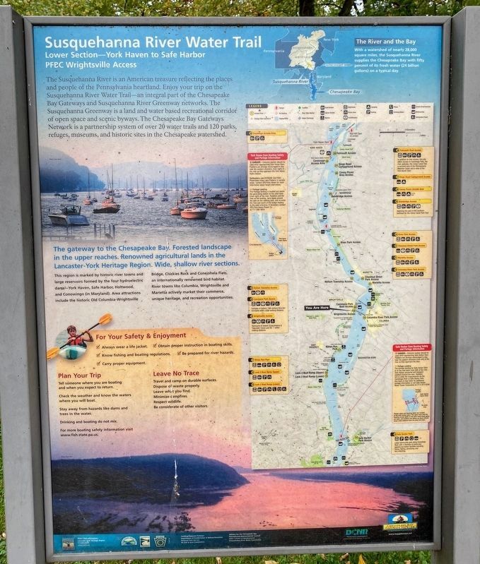
Other nearby markers. At least 8 other markers are within walking distance of this marker. Susquehanna River Water Trail (here, next to this marker); a different marker also named Susquehanna and Tidewater Canal (about 600 feet away, measured in a direct line); Susquehanna Canal (about 600 feet away); Wrightsville, PA War Memorial (about 600 feet away); Veterans Memorial Bridge (approx. 0.2 miles away); American Legion Monument (approx. ¼ mile away); a different marker also named Wrightsville (approx. ¼ mile away); Gettysburg Campaign (approx. ¼ mile away). Touch for a list and map of all markers in Wrightsville.
Related marker. Click here for another marker that is related to this marker. Southern terminus at Havre de Grace, MD
Credits. This page was last revised on June 22, 2021. It was originally submitted on January 30, 2008, by Bill Pfingsten of Bel Air, Maryland. This page has been viewed 2,038 times since then and 40 times this year. Last updated on April 9, 2021, by Carl Gordon Moore Jr. of North East, Maryland. Photos: 1. submitted on January 30, 2008, by Bill Pfingsten of Bel Air, Maryland. 2. submitted on June 10, 2021, by Shane Oliver of Richmond, Virginia. 3. submitted on June 12, 2010, by Craig Swain of Leesburg, Virginia. 4. submitted on January 30, 2008, by Bill Pfingsten of Bel Air, Maryland. 5. submitted on June 10, 2021, by Shane Oliver of Richmond, Virginia.
