Danville in Boyle County, Kentucky — The American South (East South Central)
Dr. Ephraim McDowell, 1771-1830 / McDowell-Crawford Surgery
Inscription.
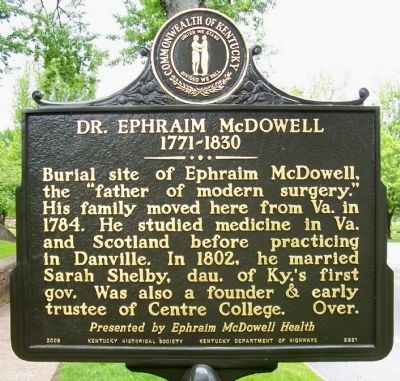
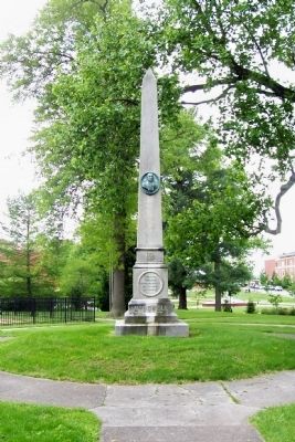
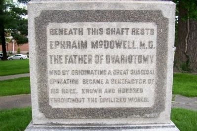
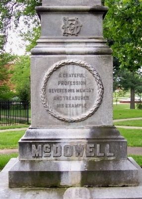
Burial site of Ephraim McDowell, the “father of modern surgery.” His family moved here from Va. in 1784. He studied medicine in Va. and Scotland before practicing in Danville. In 1802, he married Sarah Shelby, dau. of Ky.’s first gov. Was also a founder & early trustee of Centre College. Over.
Presented by Ephraim McDowell Health
(Reverse):
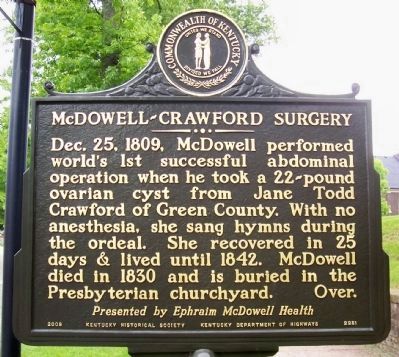
McDowell-Crawford Surgery- Dec. 25, 1809, McDowell performed world’s 1st successful abdominal operation when he took a 22-pound ovarian cyst from Jane Todd Crawford of Green County. With no anesthesia, she sang hymns during the ordeal. She recovered in 25 days & lived until 1842. McDowell died in 1830 and is buried in the Presbyterian churchyard. Over. Presented by Ephraim McDowell Health
Erected 2008 by Kentucky Historical Society, Kentucky Department of Highways. (Marker Number 2281.)
Topics and series. This historical marker is listed in these topic lists: Cemeteries & Burial Sites • Science & Medicine. In addition, it is included in the Kentucky Historical Society series list. A significant historical date for this entry is December 25, 1866.
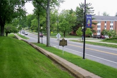
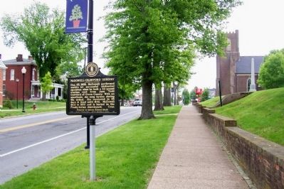
Location. 37° 38.767′ N, 84° 46.704′ W. Marker is in Danville, Kentucky, in Boyle County. Marker is on West Main Street east of College Street, on the right when traveling east. In front of McDowell Park and burial site, west of the Presbyterian Church. Touch for map. Marker is in this post office area: Danville KY 40422, United States of America. Touch for directions.
Other nearby markers. At least 8 other markers are within walking distance of this marker. C.S.A. 1861 - 1865 (within shouting distance of this marker); John Todd Stuart, 1807-1885 (within shouting distance of this marker); Presbyterian Church (within shouting distance of this marker); Sinking Spring (about 600 feet away, measured in a direct line); Old Carnegie (about 700 feet away); Centre College (approx. 0.2 miles away); Old Centre (approx. 0.2 miles away); "Uncle" Charlie Moran (approx. 0.2 miles away). Touch for a list and map of all markers in Danville.
Credits. This page was last revised on November 11, 2020. It was originally submitted on December 21, 2011, by Forest McDermott of Masontown, Pennsylvania. This page has been viewed 766 times since then and 16 times this year. Photos: 1, 2, 3, 4, 5, 6, 7. submitted on December 21, 2011, by Forest McDermott of Masontown, Pennsylvania. • Craig Swain was the editor who published this page.
